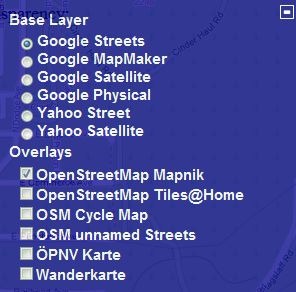
The transparent com site lets you select a base map layer from Google or Yahoo, and then overlay an OpenStreetMap (OSM) data layer on top with user-definable transparency. Zoom in to your area of interest, pick the base and overlay layers by clicking on the “+” sign in the upper right:
And see the base layer and OSM data together:
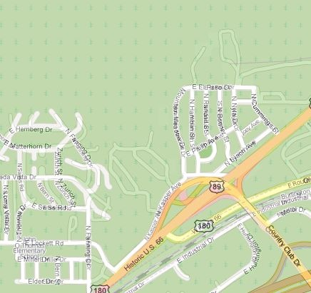
In this area, there are a fair number of roads that show up in Google Maps, but don’t show up in the OSM database; bringing up the Google Satellite view confirms that these roads actually exist:
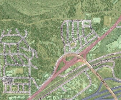
A cursory check shows that the Google Maps data is more accurate and up-to-date than the OSM data for this area. You can’t use the Google Maps data to correct the OSM maps, but this can be useful in showing you what areas need better mapping data. I’ll have a post soon on OSM editors.
Via GPS Tracklog.
Posted a few months ago about ScribbleMaps, a very cool web app that let you draw shapes and symbols freely in a Google Maps interface, then save the map in multiple formats:
- JPEG
- Print directly from browser
- Embeddable widget (no Google Maps API key required
- Facebook map
- Regular Google Maps view
- Google Earth plugin (though this didn’t work for me)
- KML file (for viewing in Google Earth)
- GPX (for export to your GPS)
ScribbleMaps has just added a Pro version, still in beta, that adds a host of new features:
- You can now set up an account to save and manage maps
- Import data in shapefile, CSV, tab-delimited, Excel spreadsheet, KML
- Custom line styling
- Larger color palette
- New marker icons
- Data layers, with full management
- Line and polygon measurement tools
- Object rotation tool
- Undo/Redo
- KML editor
- Multiple language support
A cool tool that just got even cooler. Free for now; no mention of future cost that I could find, and I hope it stays that way.
I first posted about HeyWhatsThat 2+ years ago; its initial functions included:
A panorama of what’s visible from that location, marking the position of peak geographic landmarks
A list of the peaks, and the ability to show their position relative to your location on Google Maps
Terrain profiles (elevation versus distance from the location to any point on the map).
A plot all the areas visible from that location in red on Google Maps (aka the “viewshed” or “weapons fan”).
Contour lines.
Google Earth export of position, viewshed, horizon line and horizon extent.
Mike Kosowsky has been adding functions to HeyWhatsThat since then, and writes to announce two more:
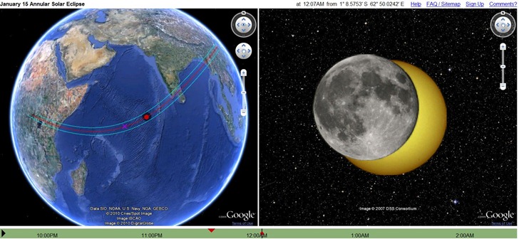
1. A simulator of Friday’s annular solar eclipse:
2. A web app to let you find out what you’re looking at using your iPhone or Android; point your phone’s browser to m.heywt.com.
New from MapChannels is Switch Maps, an easy way to embed multiple web maps in a single frame. A simple web interface lets you set the geographic extents, size of the map frame, and which maps to include:
Continue reading ‘Multiple Embeddable Web Maps With Switch Maps’
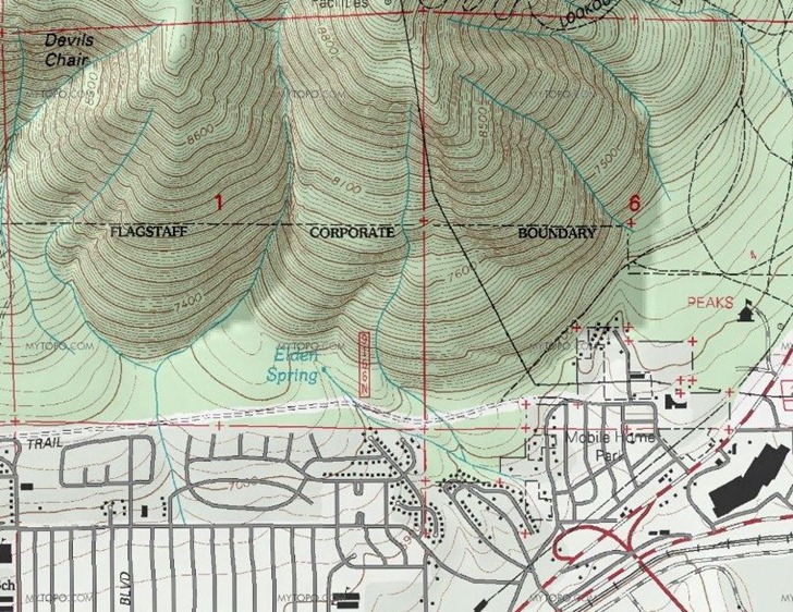
Joseph Elfelt writes to announce his Gmap4 website, which displays the MyTopo version of USGS topographic maps (down to 1:24K scale) and Canadian topo maps (to 1:50K) in a Google Maps interface; standard Google Maps layers are available as well. The initial map window view is pretty small; for a better view, select “Full Screen” from the action menu. The US topo maps are very high-quality terrain shaded maps, better than Terraserver, and substitute the updated US Forest Service topos where available:
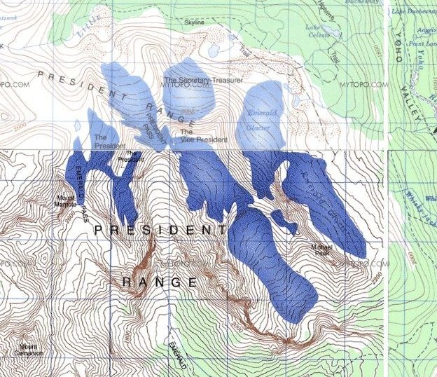
The Canadian maps generally look good as well, though they sometimes have issues with border mismatch between tiles, and differences in map lightness:
You can also display GPX and KML files on top of the topo maps, like this KML file:
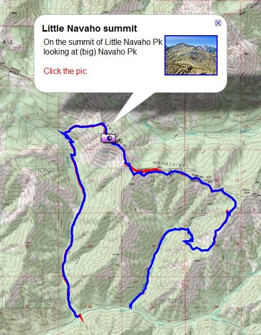
The help file, available as a PDF from the “Action” drop-down menu in the upper-right corner, explains how to do this three ways:
The site is non-commercial and ad-free, to conform to the licensing limitations of the MyTopo API.
The Open Street Map project is working to create a freely distributable map dataset for the world, generated by volunteer effort. Much of the data is derived from publicly-available government data, GPS tracks, and manual tracing over aerial imagery. The Walking Papers project offers an alternative method of recording and adding data to the Open Street Map, more suited to ground-based observation and recording. Zoom in to an area, download a PDF of the map, and print it out; you have options to download simple or complex road maps, cycling-oriented maps, even topographical maps. Take it into the field, and write notes or draw geographical features directly on it; here’s a sample road map from France:
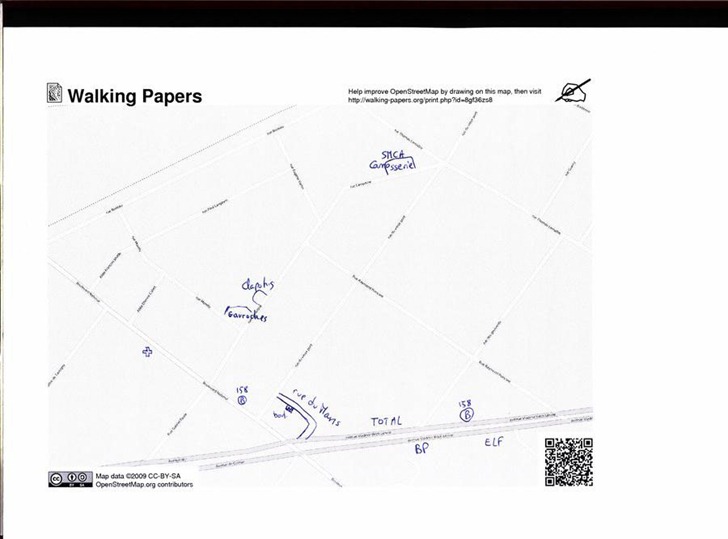
The square in the lower right has coded information about the location and scale of the map, and I’m guessing the squares help calibrate the map image. When you’re done annotating the map, scan it and upload it back to the Walking Papers website. You can then open up an OSM editor with the scanned map in the background, georeferenced so that it lines up with the existing data:
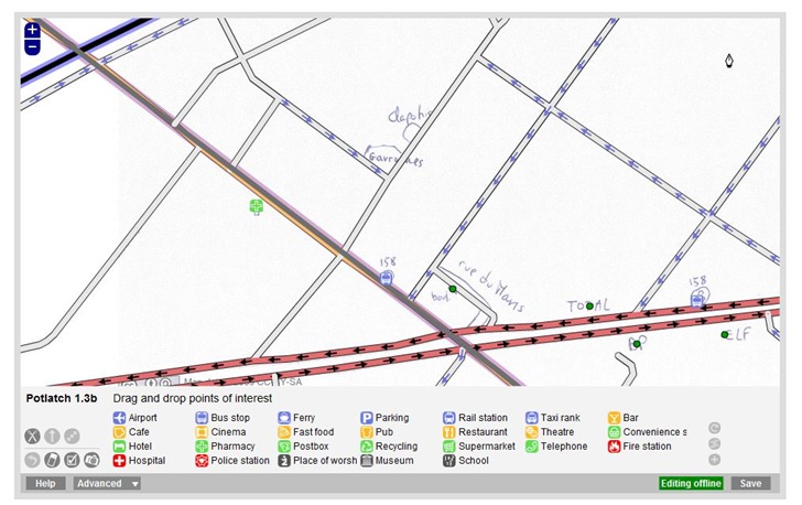
Use the editor to trace over the hand-drawn data, adding it to the OSM database.
Digital Inspiration’s Find Postal Address … site is a one-trick pony, but does it well. Zoom to a location in Google Maps, click on the map, and a pop-up will give you the closest postal address to the point you’re clicking on:
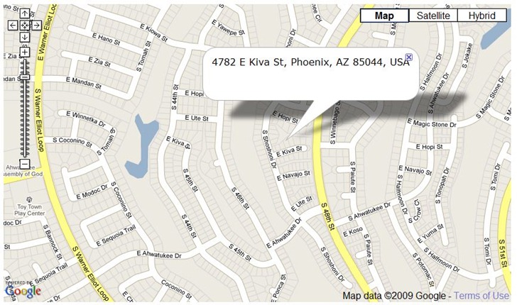
A search box aids in zooming in quickly to a desired city or zip code.
I’m not a .Net programmer (I’m still stuck in the primordial ooze that is VB6), but if you are, you might want to check out GMap.Net, a free and open source .Net control for embedding online map services in Windows applications. You have the option of displaying maps from Google, Yahoo, OpenStreetMap, Bing or ArcGIS, with tile cacheing an option for faster performance. Several demo apps are available to show what you can do:
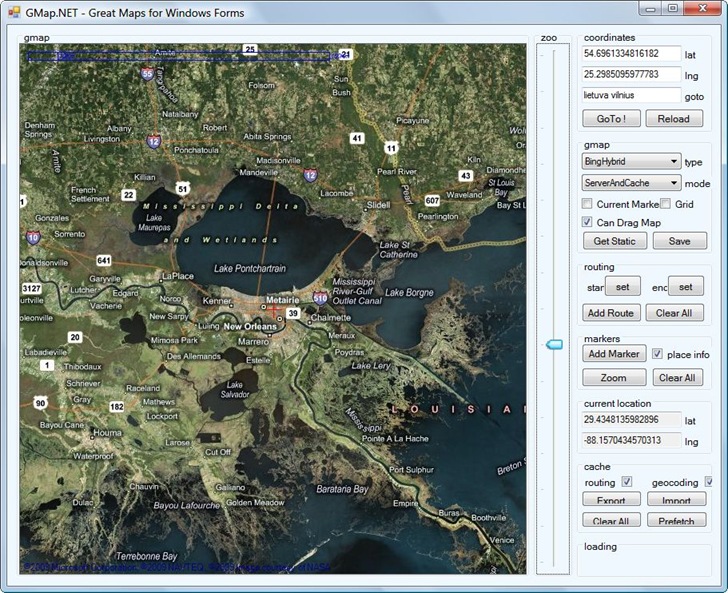
One quick tip: right-click and drag to pan the map (took me a while to figure that one out).


