A handy source of world vector data, the National Geospatial Agency’s VMAP0 vector data from 1992/1993 has been converted to E00 format and issued as the Digital Chart Of The World. While more recent VMAP0 data is available from the NGA (and even higher-resolution VMAP1 for some areas of the world), it tends to be in the VPF format, which many GIS programs don’t read. While it may be a bit older, DCW data is readily available in E00 format, which many GIS programs can read directly, and it can be converted to shapefile format for compatibility with virtually every GIS viewer and editor.
Penn State maintains the Digital Chart Of The World Server, which offers up DCW data in E00 format by country (and in some cases, e.g. Brazil, Canada, and Australia, by state). Data available includes:
- Political/Ocean (Point)
- Populated Places (Polygon)
- Populated Places (Point)
- Rail Roads (Line)
- Roads (Line)
- Utilities (Line)
- Drainage (Network)
- Drainage (Point)
- Drainage Supplemental (Point)
- Hypsography (Network)
- Hypsography (Point)
- Hypsography Supplemental (Line)
- Hypsography Supplemental (Point)
- Land Cover (Polygon)
- Land Cover (Point)
- Ocean Features (Line)
- Ocean Features (Point)
- Aeronautical (Point)
- Cultural Landmarks (Point)
- Cultural Landmarks (Line)
- Transportation Structure (Line)
You can download the digital vector data directly, or view a GIF preview of the data individually or collectively. Most data is in geographic format (latitude/longitude), with the notable exception of Russia in Lambert Conformal Conic. While the documentation states in one place that the spheroid is the Clarke 1866, it appears from other references that the data is actually in WGS84 datum.
Yesterday, I posted about the raster combining and export capabilities of the TatukGIS Viewer. But it’s also a first-rate vector file viewer as well, and can export high-resolution raster images of the vector display using the capability described yesterday.
Among the vector features of the TatukGIS Viewer are:
- Support for a large number of vector formats, including shape, E00, DXF, Tiger road data, GPX, KML, MIF, VPF, DLG, etc.
- Fast display.
- Overlay vector files on top of raster, modify transparency of both.
- A handy wizard for assigning vector display properties using attribute data.
- Standard query and selection by attribute.
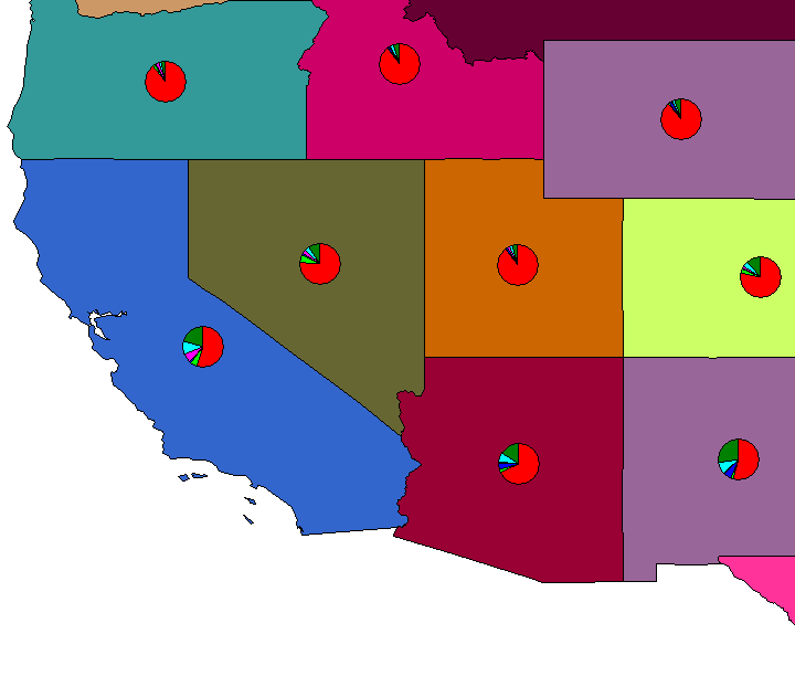
- Pie and bar charts by table attribute, superimposed on the map. (Note: Do this before modifying shapefile display properties, otherwise it doesn’t work)

- Selection by point, line, rectangle, circle, polygon; intersect, touch, within, cross, overlap.
- Measure distance/area for line, polygon, rectangle, circle.
- High-resolution export of georeferenced raster image.
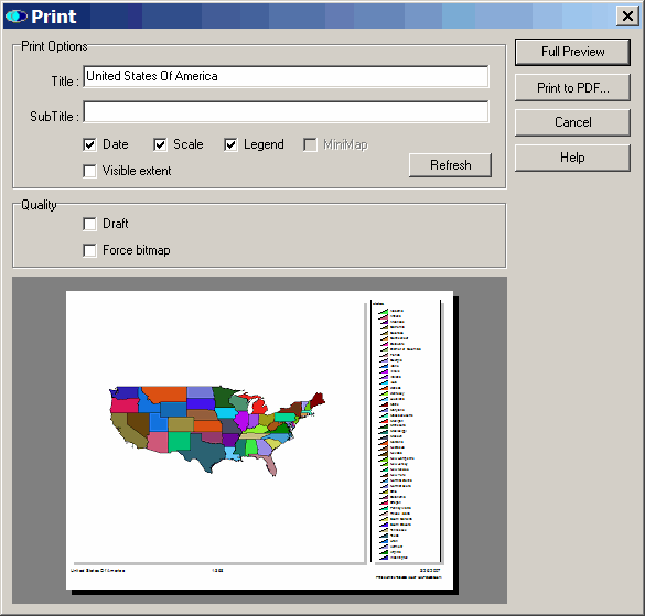
- Print image with options to include scale, title, or legend, either to printer or PDF file.

- User-selectable appearance themes.
- Save projects.
No editing capabilities, just viewing, but the TatukGIS Viewer is among the best free GIS viewers out there.
Yesterday’s post covered converting KML files to shapefile format, with the intermediate step of converting them first to AutoCAD DXF format, then DXF to shapefile format using a MapWindow plugin. Seems like a good moment to post on a shapefile-to-DXF converter that can also convert ArcINFO coverages (derivable from ArcINFO E00 files) to DXF as well.
Continue reading ‘Converting Shapefiles and ArcINFO Coverages To AutoCAD DXF Format’
Shapefiles are the most common format for GIS vector data, and just about every GIS program, free or commercial, can open them. Unfortunately, older vector data is often in the ArcINFO interchange E00 format which, unlike shapefiles, isn’t a well-documented format. Many free GIS programs can’t open E00 files at all, and even those few that can often have problems handling them correctly. But there’s a fairly simple two-stage process that can accurately convert vector E00 files into shapefile format.
Continue reading ‘Converting E00 Vector Data To Shapefiles – A Free And Fairly Painless Approach’
Rich of GPS TrackLog points out that the demo version of OziExplorer has the ability to open shapefiles, and export the data to a GPS. I’d avoided looking at OziExplorer because I thought it was shareware, and you’re obligated to pay $85 for registration to use it. But Rich is right – the demo version does let you import shapefiles, and send them to a GPS. And it does a bunch more as well:
Continue reading ‘GPS/GIS/Google Earth Import/Export With OziExplorer’

