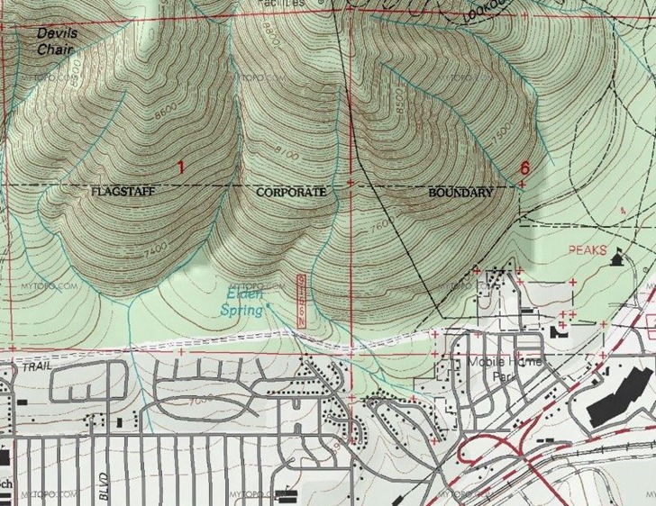
Joseph Elfelt writes to announce his Gmap4 website, which displays the MyTopo version of USGS topographic maps (down to 1:24K scale) and Canadian topo maps (to 1:50K) in a Google Maps interface; standard Google Maps layers are available as well. The initial map window view is pretty small; for a better view, select “Full Screen” from the action menu. The US topo maps are very high-quality terrain shaded maps, better than Terraserver, and substitute the updated US Forest Service topos where available:

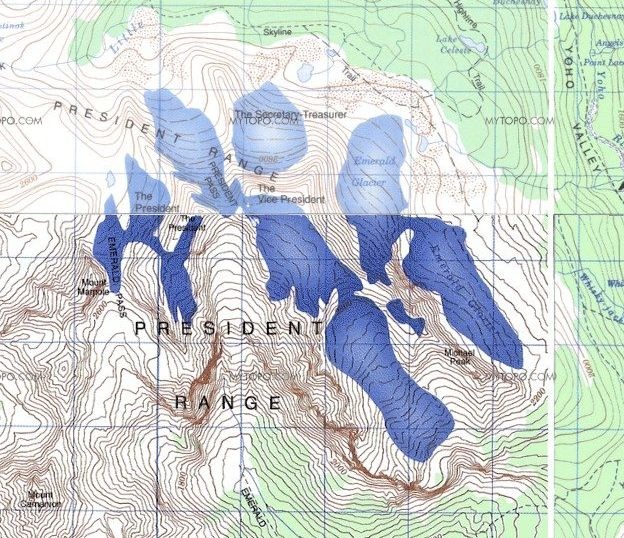
The Canadian maps generally look good as well, though they sometimes have issues with border mismatch between tiles, and differences in map lightness:

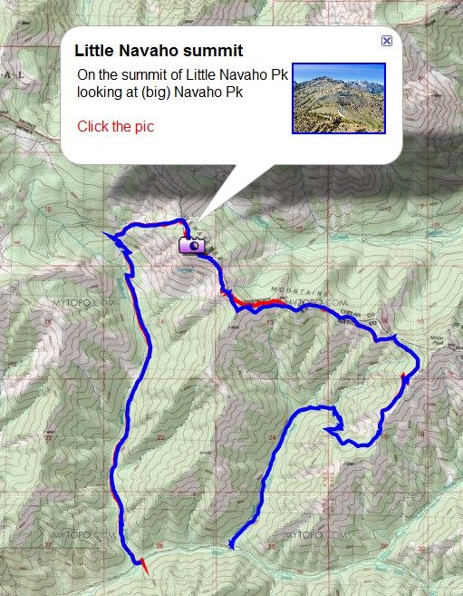
You can also display GPX and KML files on top of the topo maps, like this KML file:

The help file, available as a PDF from the “Action” drop-down menu in the upper-right corner, explains how to do this three ways:
- URL link to an uploaded KML or GPX file (example link)
- Link to a KML or GPX file saved in Google Docs (map link; Google Docs link)
- Link to a Google Maps MyMaps file, KML only (example link)
The site is non-commercial and ad-free, to conform to the licensing limitations of the MyTopo API.