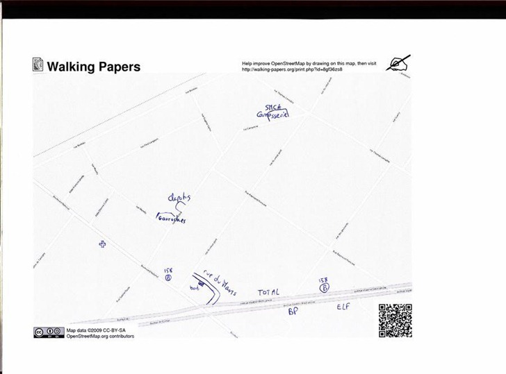
The Open Street Map project is working to create a freely distributable map dataset for the world, generated by volunteer effort. Much of the data is derived from publicly-available government data, GPS tracks, and manual tracing over aerial imagery. The Walking Papers project offers an alternative method of recording and adding data to the Open Street Map, more suited to ground-based observation and recording. Zoom in to an area, download a PDF of the map, and print it out; you have options to download simple or complex road maps, cycling-oriented maps, even topographical maps. Take it into the field, and write notes or draw geographical features directly on it; here’s a sample road map from France:

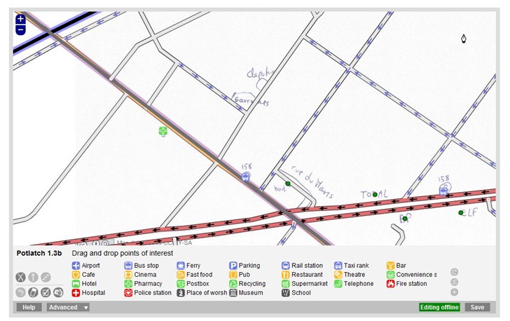
The square in the lower right has coded information about the location and scale of the map, and I’m guessing the squares help calibrate the map image. When you’re done annotating the map, scan it and upload it back to the Walking Papers website. You can then open up an OSM editor with the scanned map in the background, georeferenced so that it lines up with the existing data:

Use the editor to trace over the hand-drawn data, adding it to the OSM database.