Many GPS-related programs require an NMEA connection to your GPS through a serial port. But many new computers don’t include a serial port anymore, while many new GPS models, particularly Garmin, only have a proprietary USB interface and not a serial NMEA interface. For computers that don’t have a serial port, you can always buy a USB to serial converter like those from Keyspan. And for Garmin USB-only GPS units, there’s a program called GPSGate from Franson that converts the USB connection to multiple virtual serial NMEA ports, $10-30 depending on how many ports you need. Garmin offers a similar program for free called “Spanner” for their GPS 18 model, a USB receiver/antenna that’s designed to plug in to a notebook’s USB port and interface with programs running on it. What Garmin doesn’t say is that “Spanner” will also work with some, albeit not all, of its other GPS receiver units; you’ll have to experiment to see if it works with your model. And even if your Garmin has both serial and USB interfaces, like my Garmin 60Cx, using this program can save you the expense of a GPS-to-serial cable, a USB to serial converter if your computer doesn’t have a serial port, or both. Note: Only works with XP; doesn’t work with Vista and Windows 7.
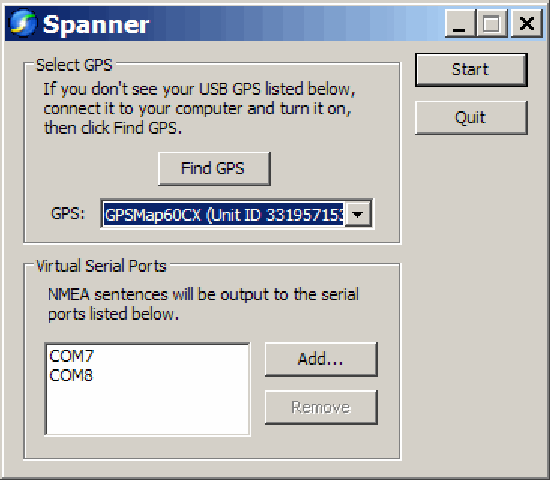
Download the Spanner program from the Garmin website, and install it. The program has only one configuration window:
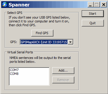
You need to have your GPS turned on, connected to your computer via USB, and using the Garmin protocol; if any of these isn’t true when you start Spanner, make it so, then click “Find GPS”. At the bottom, use the “Add” button to add a virtual serial port to your computer for use by your software as an NMEA connection. Make sure you choose a number for your COM port that doesn’t conflict with any your computer currently has. I believe that Windows can handle COM1 through COM 255, but keep in mind some software programs won’t support ports higher than COM8, or even COM4.
I’ve had two programs running simultaneously, each one getting NMEA data from a different COM port, and given that COM ports are pretty slow, I’d guess that you could add a few more without putting a serious strain on your computer’s resources.
Earlier posts in this series covered online map projection viewers, the best of which is the Brazilian Map Projections Java app. As an interactive learning tool, that one is hard to beat, and the stand-alone map projection viewers don’t match up to it in that regard. But each of the stand-alone viewers I’ve found has useful features that aren’t present in the online map projection viewers.
The first one I’ve looked at G.Projector, produced by NASA’s Goddard Institute For Space Studies (GISS). It’s a Java app, with specific versions available for Windows, Mac, and Linux. Download the file, and unzip the contents into their own folder; in the case of the Windows version, there’s an executable file called G.Projector.exe that starts up the program.
Continue reading ‘Stand-Alone Map Projection Viewers I – G.Projector’
Ogle Earth posts on NAC Earth, a Google-Earth addon that lets you navigate to a Natural Area Coding (NAC) location. Never heard of NAC? Neither had I until this post. It’s apparently a proprietary universal address system that can assign a sequence of up to 8 letters and digits to any geographic location or landmark; Stefan at Ogle Earth describes it as the geographic equivalent of tinyurl. He also doesn’t see much need for it, and truthfully neither do I – if you want to describe a location by a semi-cryptic series of letters and numbers, you can always use MGRS. Given that the system has been around now for five years without picking up any traction, I’m guessing others feel the same way.
Need to convert a set of geographic coordinates to an NAC code? Try Barry Hunter’s online coordinate converter. The NACGeo site also has some free online services for looking up and plotting NAC locations.
Google Earth can display a scalebar in the lower left-hand corner of the display:
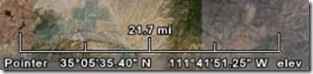
If you don’t see it, you can turn it on by selecting View => Scale Legend from the top menu. While it’s useful, it also has the drawback that it stays the same size on-screen as you zoom in and out, only the number above it that represents its length changing.
There’s a dynamically-sizable scalebar available as a network link from Safety Dave, available in two flavors (metric and English). Download the KMZ file, and open it in Google Earth; a colored bar will appear in the upper-left-hand corner, labeled with a specific distance:
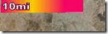
As you zoom in, the bar will get longer and longer, until it fills the top edge of the display. Zoom in further, and it will shift automatically to a new scale 10x smaller than the previous one. For example, metric will go from 10 km to 1 km to 100 meters; English would go from 10 miles to 1 mile to 500 feet. The reverse will happen as you zoom out; zoom out too far, and the scalebar gets replaced by an error message.
You can always use the “Show Ruler” tool from the top toolbar to measure and display distances.
Note: Site may be dead.
In a previous post, I described two basic online map projection viewers. Today, I’ll talk about another online map projection viewer that has far more capabilities than the first two, and is also a lot more fun to play with.
Continue reading ‘Online Map Projection Viewers II – A Great One From Brazil’
Prune is another Java-based GPS tool with its own unique set of features, including:
– Load multiple text, GPX or KML tracks, appending them to each other
– Trim duplicate points, and compress the track (hence the name Prune)
– Save combined tracks in text or KML format (use GPS TrackMaker to convert the KML tracks to GPX format if desired)
– See a plot of position, and altitude if available
Continue reading ‘Prune – Java-Based GPS Track Visualization And Photo GeoTagging’
Map projections can be defined as the science (and art) of depicting a curved surface as a flat one. You can’t depict the curved surface of the earth with complete accuracy on a flat surface like a paper map or computer screen, anymore than you can lay a flat sheet of paper on a globe smoothly without folding, wrinkling or tearing it. Transforming that curved surface to a flat representation requires mathematical manipulations of geometric parameters like scale, direction, and area, and that’s what map projections do. The type of map projection that’s right for your application will depend on what you want the map to show, the area it covers, and other factors.
Pictures of map projections are common in geography textbooks, and there’s even several books devoted to them, like Understanding Map Projections and Flattening the Earth: Two Thousand Years of Map Projections. But there are also a number of online websites and stand-alone applications, that let you display, change and experiment with map projections, and this kind of interactive approach goes a long way towards making map projections understandable. I’ll be posting about a number of these websites and applications over the next week or so.
Continue reading ‘Online Map Projection Viewers I’
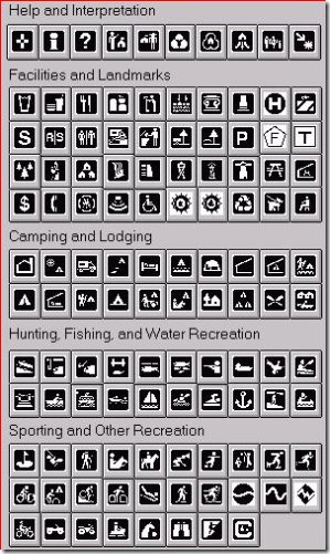
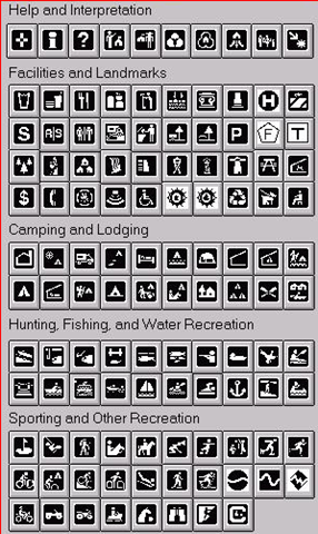
The New York Times has an interesting article on the development of the new Clearview font that is likely to replace the old Highway Gothic font in US highway signage in the future. If you want to use the the Clearview font for map labels or signage, it’s available from this website, at a heavy cost ($795 for 1-5 workstations). But there’s an adaptation of the fonts available in TrueType format at this website that’s free for personal, hobby, educational or non-commercial uses (read the license on the website, and in the zip file, for the full details). Just unzip the fonts into the appropriate Fonts folder for your OS (for Windows, that’s the Windows\Fonts folder), and they should be available as a font selection in your application. Also included are versions of the old Highway Gothic font, as well as English and German highway signage fonts. And there’s a link to the Minnesota DNR’s TrueType font with recreational symbols.