The Surveying.Org website plots a number of useful survey-related data features in a Google Maps interface; select one or multiple data features to display with a checkbox.
National Geodetic Survey Benchmark locations
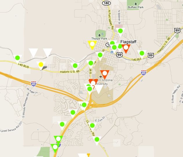
Takes a few seconds for them to pop up. The different symbols correspond to various classes of accuracy for the benchmarks, both horizontal and vertical. Click on a benchmark icon …
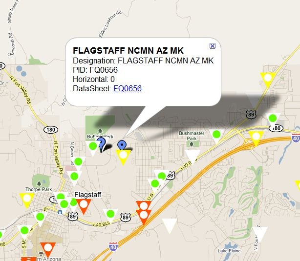
… and get at popup with the name/designation of the benchmark. Clicking on the datasheet link brings up a full datasheet with coordinates, quality information, and more.
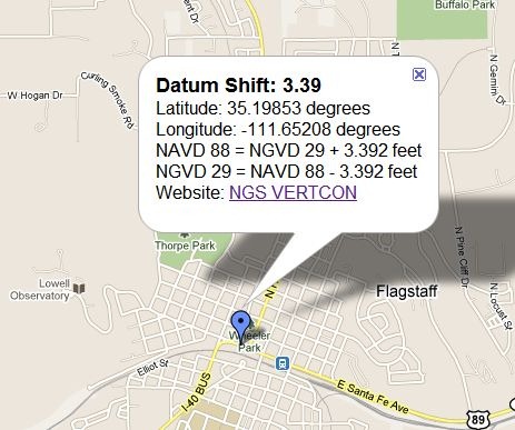
NGS Vertcon info
State Plane Coordinate System (SPCS) Zones
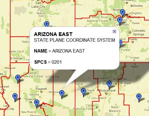
A few of the icons/popups are slightly misplotted, like the second one in the lower left, but they’re close enough to their respective SPCS zones to let you figure it out.
UTM Zones
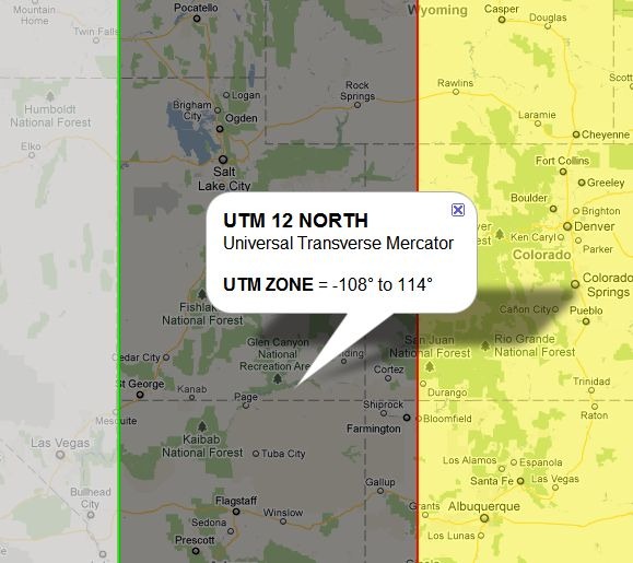
This is the only dataset that’s good for outside the US; UTM zones are displayed for the entire world.
Meridian locations for Public Land Survey System (PLSS) designations (Township/Range/Section)
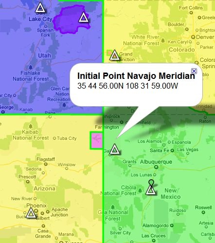
Also slightly misplotted in a few cases, as with the Navajo Meridian above, but close enough to figure out.
Area/length measurements
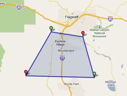
Finally, you can put the web app into either line length or area mode, and then click on the map to define vertices for a measurement. Above, an area is defined …
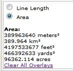
… and the area given in various units. Click and drag on a vertex to move it; Ctrl-click on a vertex to delete it. Doesn’t seem to be a way to add a vertex to a line segment, though.
Interesting.
Checked it out, as I am an avid benchmark hunter….
Every link I checked out (about 15) had a funky address that had to be manually changed in order to get to the NGS datasheets.
Example:
http://www.surveying.org//www.ngs.noaa.gov/cgi-bin/ds2.prl?retrieval_type=by_pid&PID=MB1844
Just cut out the ‘www.surveying.org//’ and it works. The 404 page that appears looks fishy, though….
Interesting – I didn’t have that problem. Which browser are you using?
That type of 404 page is not uncommon; it’s typically loaded by the hosting service, not the website itself.
Using Firefox 3.6 on a WinXP machine.
Here;s a screenshot of the 404 page:
http://dl.dropbox.com/u/8104213/screenshot1.jpg
the middle part that advertises the search engines is what looks fishy to me.
It’s a Firefox issue; I duplicated the problem on Firefox, but it works fine on both Chrome and IE9.
I used to get similar 404 messages on some of my older websites hosted at GoDaddy and Bluehost; all my sites run on WordPress now, so that’s not an issue for me anymore.
I beg to differ, not a Firefox problem but a bad web page programming in Surveying.org.
I can reproduce the problem here when using FireFox.
Amir K9CHP
Looking at the source code, looks like the site is pulling in data from a KMZ file that contains all of the benchmark positions, with popup data for each point. I can’t think of a way that you could have that popup data be malformed for Firefox, but not be malformed for Chrome or IE9. Can’t be 100% sure, but I’d be inclined to point the finger at Firefox for this one.