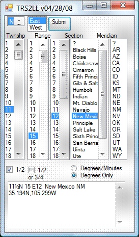
1. The TRS-data site at Montana State University lets you enter PLSS data (Township, Range, Section, “TRS”) for one of 17 western US states (AR , AZ, CA, CO, ID, KS, MT, ND, NE, NM, NV, OK, OR, SD, UT, WA and WY), and get back the latitude/longitude for the center of that section. You’ll need to know the correct meridian for the TRS section you’re interested in; the same site has a map that you can click on that will bring up a datasheet with the meridian. It also will give you information about the point you clicked on like latitude/longitude, slope, aspect, roughness, nearby landmarks,etc., but the scale of the map is so small that most of this data isn’t terribly useful.
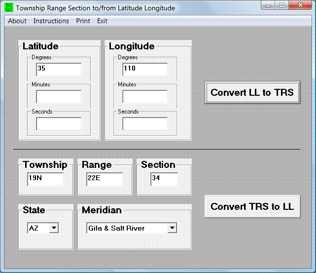
2. The site above uses Martin Wefald’s free TRS converter software, available for free download. This includes a DOS executable, DLLs for use in other Windows programs (including both TRS to lat/long and lat/long to TRS), source code, documentation and a sample Visual Studio app for TRS to lat/long conversion that functions similarly to the above website:

3. Paul Jorgensen has used these DLLs to create more stand-alone converters:
– A single-point app for converting TRS to lat/long, or vice-versa:

– A bulk converter that takes a text file with TRS data, and outputs a text file with lat/long data. Documentation and download at this website. The format the input data needs to be in is very specific, so it might not be the easiest to work with.
4. While I’m on the topic: I’ve posted before about the Township And Range website, which takes TRS data and plots the location in Google Earth. Since the original post date, the author has added converters that will take TRS data and convert it to lat/long, and vice-versa, with the option to view the location immediately in Google Earth.
HT to Steve Richardson.