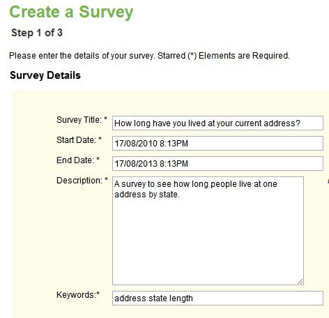
The Centre for Advanced Spatial Analysis, University College London’s SurveyMapper site has been live for the United Kingdom for a while now, but just added the ability to do geographic-based survey polls for the United States as well as Europe and the entire world. The process for creating a survey couldn’t be easier. After free registration, click the “Create Survey” button; the first page will ask for basic info:
You also select the type of geographic map you want to display the results in:

Options are:
- Worldwide by country
- Europe by country
- US by state
- US by zipcode
- UK by counties
- UK by postcode
- London by street grid (coming soon)
- World countries with a heat map (coming soon)
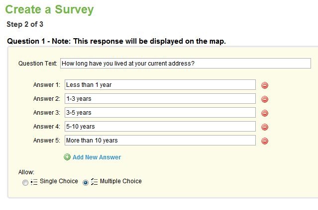
Next, add the question(s) you want to ask in your survey:
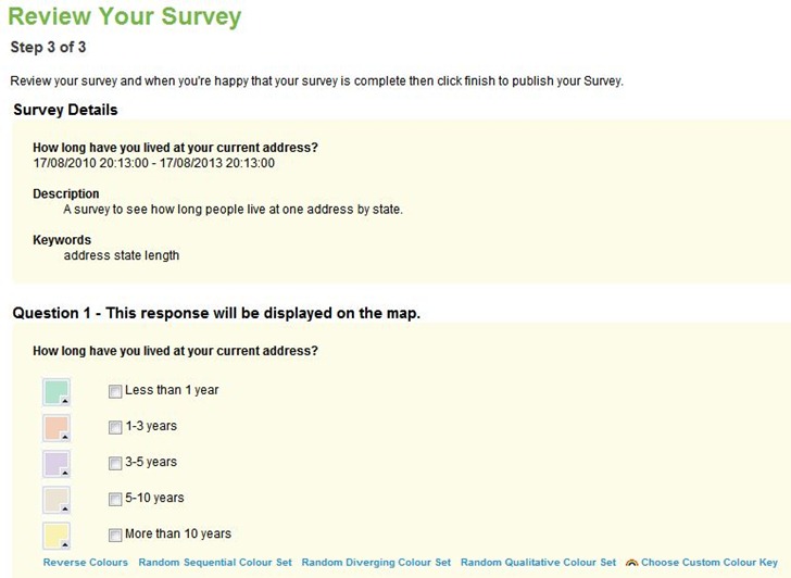
You’ll then have the chance to review the survey, and either choose the default color scheme assigned:
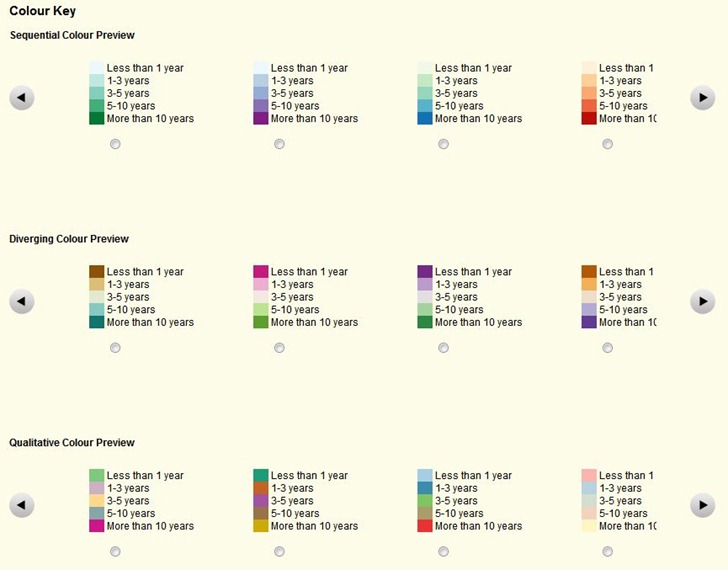
You can also modify those assigned colors, or choose a custom color key:
That’s it; your survey map page is now live:

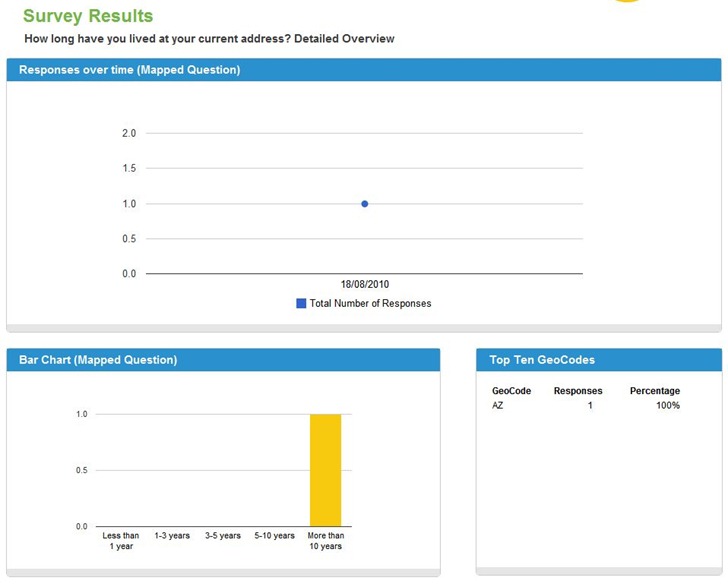
Here’s a link to the survey map page; try it out by clicking on “Respond to this Survey”, then return to the map page to see the updated results, and check out Stats and Graphs:
Cool, easy, and free. There’s a page of current surveys that you can check out as well.