A while back, I posted about a free web app from Metzger and Willard that shows National Geodetic Survey control points (benchmarks) near a specific area, and lets you view data for those landmarks. I’ve just noticed that they’ve created a newer web app called the Earth Survey Plugin, running in a Google Earth browser plugin that not only has the same capability, but also adds a bunch of additional features:
- An NGS Survey Marker capability that works very similarly to the previous app, but now offers the ability to export the data into a static KML file
- A PLSS point geocoder function that either gives you the section data for the point in the middle of the display:
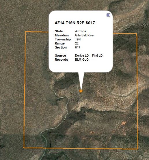
… or lets you enter the PLSS parameters, and find the center point associate with them:
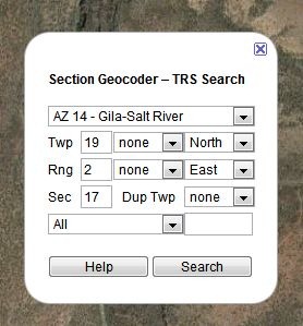
These can also be saved as a KML file.
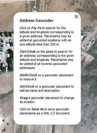
- A click-to-geocode function:
Plus, a set of overlays:
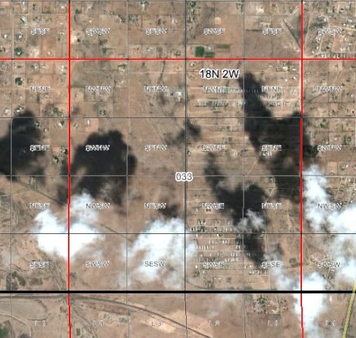
- PLSS sections, including quadrants and subquadrants:
- Principal meridians:
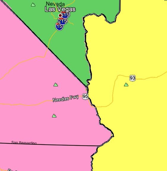
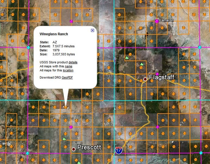
- USGS topo quad index; orange dots for 1:24K, purple for 1:100K, cyan for 1:250K. Clicking on a dot brings up a pop-up balloon with the name of a quad, and a direct link to the GeoPDF for that quad at the USGS store. Note that GeoPDF quads are not currently available for quads in US National Forests, and that at this time, some states (e.g. AZ, CA) don’t have full topographic information on their GeoPDF quads.
- Actual USGS topo map views, with the scale depending on your zoom level.