If you need a quick rundown of basic information about any country, the World Gazetteer is one option. From the site’s homepage:
- Current population figures and area size for all countries and important territories
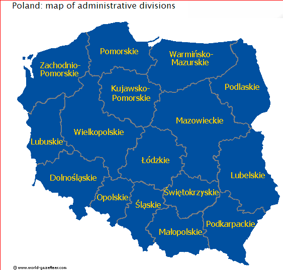
- Population figures and area size of administrative divisions
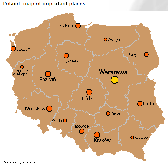
- Population figures for the largest cities, towns and places as well as for metropolitan areas
- Historical population data (census or estimates; mostly from last or last two censuses)
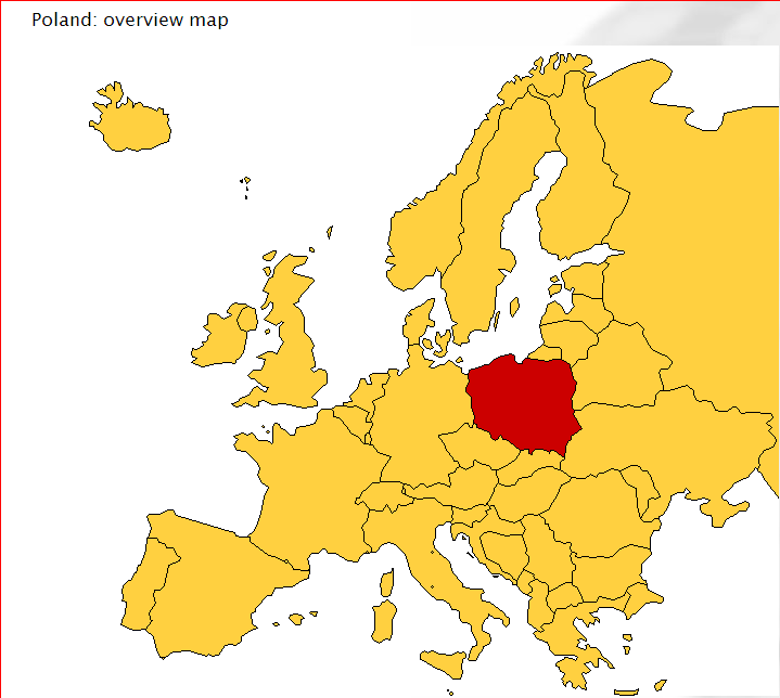
- Overview maps that show the position of the country or the administrative divisions
- Summary statistics for countries and territories as well as for the largest cities and agglomerations
- Current national flags
- Summary maps for various subject
- A pronunciation guide for some languages
- There is a downloadable file for offline research
- A population clock that show the current population of the world
- Comprehensive meta information about statistics and the project
Sample maps from the website (for Poland):
Hi Leszek
Another good source is http://www.citypopulation.de for population statistics similar to the ones you presented, which means including maps.
Another good source for similar city/population statistics incl. long/lat for the cities is http://www.tageo.com/index.htm
Cheers
Askan.
Hi Leszek,
Another source is from http://www.geodatasource.com for general purpose. It has a free edition of the database.
Good day.