Enter a surname (last name) into the World Names Profiler, and get a choropleth map showing the population density of that name:
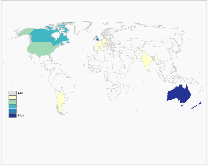
A table of the countries with the highest FPM (frequency per million) of that name:
Continue reading ‘Map Surname Densities With The World Names Profiler’
The Nearby.org.uk site has a pair of replacement compass indicators for Google Earth:
The Compass Star replaces the standard Google Earth compass indicator:

with one that has an angular degree scale, and finer divisions:
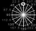
The Magnetic Compass is supposed to do something similar, but this time displaying the direction of magnetic north at any location:

… but sometimes it doesn’t seem to work right.
NOAA has a website that will give you the magnetic declination (the deviation between true and magnetic north) for the present, or any date after 1900, for the entire world. For the US, there’s also a page that gives you that value for dates before 1900. Links to graphic maps of declination and other info are available here.
Matt Amato at Analytical Graphics has created a network link that converts USSTRATCOM data (active and inactive satellites, debris and rocket bodies) into a KMZ network link for observation in Google Earth:
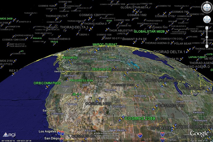
In the above view, debris and rocket bodies are turned off; active satellites are in green and inactive in gray. Satellites are plotted at their actual 3D position, including altitude, so you can zoom around above the Earth and see the satellites suspended overhead. Switch to Google Sky mode, and see the satellites plotted against the constellations:
Continue reading ‘Real-Time Satellite Visualization In Google Earth’
A bit more than a year after the 3.3 commercial version was converted to open source, with management turned over to 52 North, ILWIS 3.5 has been released. New features include:
- A new installer
- ILWIS as an OGC compliant WMS client: visualization of WMS layers (or combinations thereof) as raster maps.
- Calculation tool for Surface Energy Balances (SEBS).
- ILWIS as an MS Visual 2008 project.
- Easy extension of analytical functions (so-called applications and applications UIs) based on a plug-in system.
- Improved possibilities/capabilities for writing server side applications: separation of the user interface and analytical functionality.
ILWIS is a full-featured, highly sophisticated raster-oriented GIS program. See this earlier post for a longer list of some of its features, as well as links to extensive documentation (currently missing from the 52 North website).
Via SlashGeo.
mapz: a gis librarian has updated his ArcMap2GMap script for exporting ArcMap layers to a standalone Google Map page; in addition to points and lines, it now includes support for choropleth polygon layers:
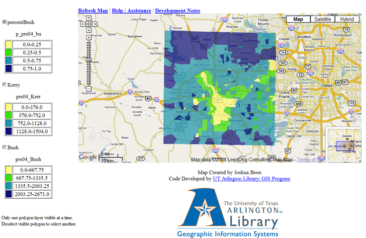
Runs on ArcGIS 9.1 and 9.2, not yet tested on 9.3.
Martin Feuchtwanger of Underhill Geomatics writes of their surveying utility program Copan. I don’t know much about surveying, but can at least list some features from the help file:
COGO Calculations
Multiple Inverse Calculations
Field Data Processing
Field Azimuths Data Processing
Resection Processing
Map Traverses
Map Checks
Area and Perimeter Calculations
Coordinate Transformations
Traverse Processing
Azimuth Expressions
Distance or Offset Expressions
Shift Expressions
Point Renumbering or Replacement
Supports Geodimeter, Leica, Wild, Nikon and TDS total station formats
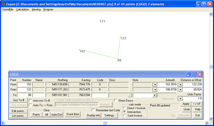
And more …Copan comes in versions for Windows:
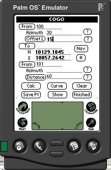
Palm:
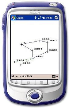
And Pocket PC:
Feature sets are similar between the different versions, and data can be interchanged between them; GPS is supported for the mobile platforms. The software is free, but you’ll need to get a password and license key via email to use any of the versions. The Windows license key is in a “.bin” file, and some email services (like GMail) won’t accept files with that extension.
Zoe Watson writes about ZipWho.Com, a website that provides a quick summary of demographic data for any US Zip Code:
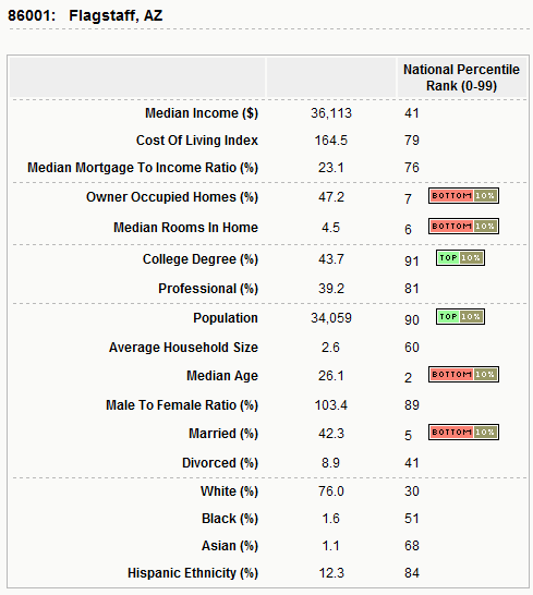
You can also search for zip codes that meet up to four criteria like household income, married status, ethnicity, educational level, etc., narrowing the search down to specific cities and states if you like.

