I use to recommend the TatukGIS Viewer as a good free program for merging raster imagery and export it in georeferenced full resolution, but as last week’s post indicated, the latest version of it drops this functionality. Someone asked me for a recommended free alternative, and for now I’d pick MicroDEM for that. It does have some limitations:
- The images to be merged should be of the same resolution
- They all need to be the same type (GeoTiff, bitmap with worldfiles, MicroDEM’s native IDX format; other types like ECW/MRSID/IMG/JPEG2000 may work if you install and configure FWTools as an add-on, or they may have problems)
- They have to be in either UTM or geographic coordinates (choice of NAD27, NAD83, or WGS84 datum)
- The output image is in MicroDEM’s native IDX format; you’ll usually need to re-open it and then export it as a GeoTiff for use in most other programs
But it also offers some useful options as well:
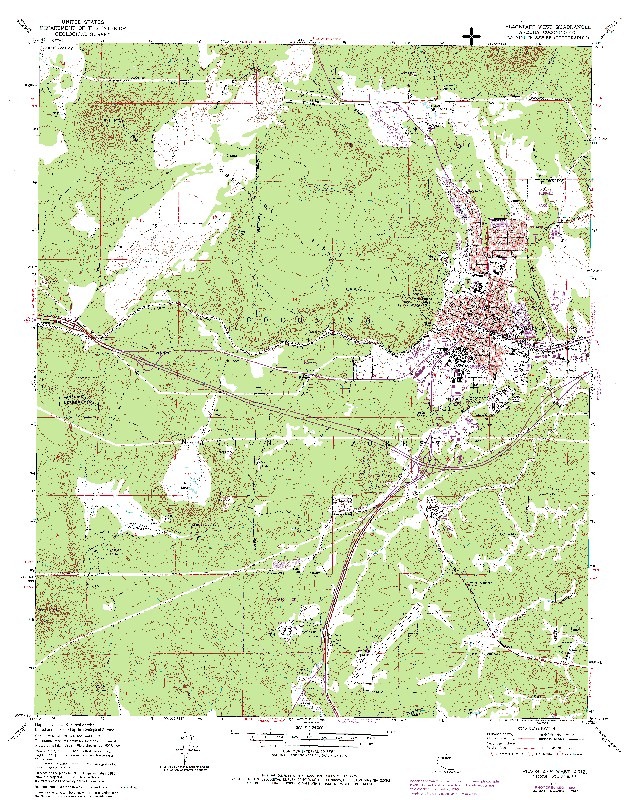
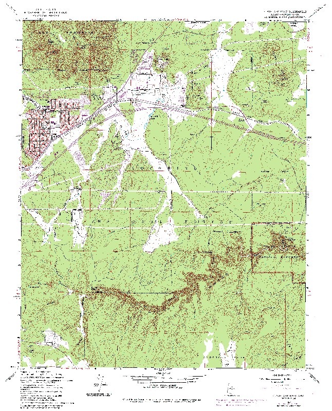
– USGS topos can be automatically cropped to remover their borders, allowing seamless maps to be created.
So this 24K topo map:
And this one immediately to the east:
Can be merged into this one:
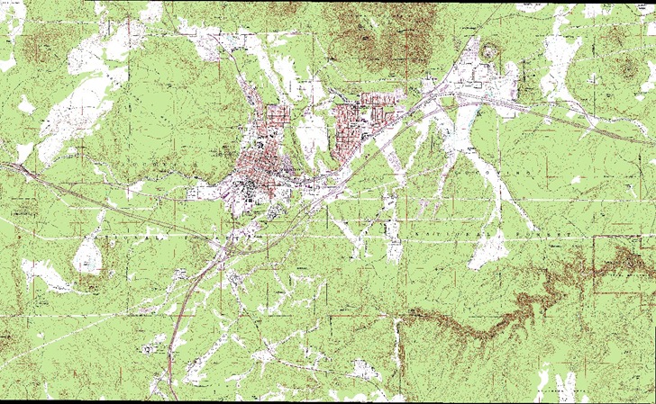
(Note: actual imagery is at full resolution)
– LandSat imagery in multiple band format (like that freely available from the Global Land Cover Facility) can be automatically merged across all bands, as long as you maintain the default band image file name convention. And, you have the useful option of ignoring black area (“zero reflectance”) when merging imagery, allowing a seamless merge with no black in between. So you can take this Landsat image:
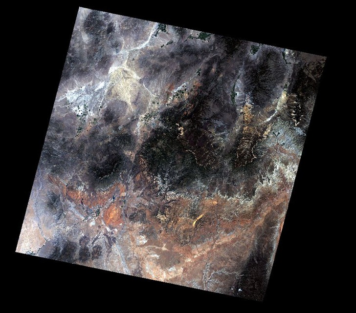
Merge it with this one:
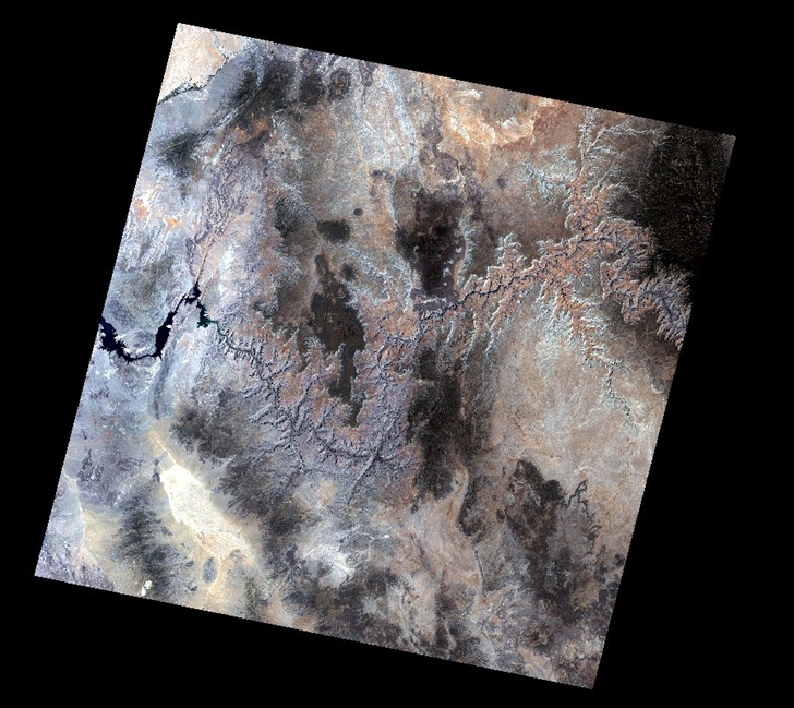
To get this:
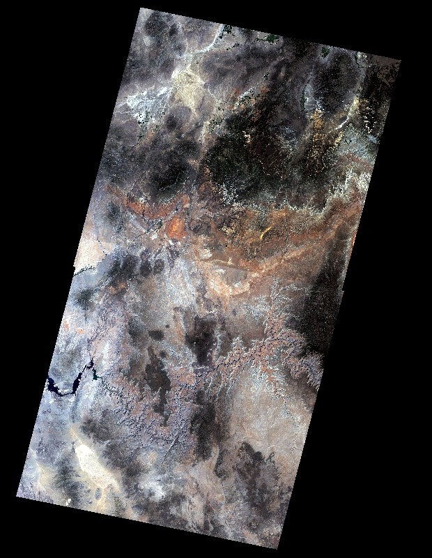
The Merge utility is part of MicroDem’s Data Manipulation utility, accessed by clicking on the “In/Out” button on the toolbar. Choose Merge => Imagery from the menu, and select the images you want to merge one by one from a file selection window; as you choose each image, the file selection window will pop up again. When all images are selected, choose Cancel from the File Selection window. You’ll be asked if you want to clip the USGS DRGs to their margins, and whether to Ignore Zero Reflectance (black) on Landsat imagery. If you clip USGS DRGS, you’ll also be asked for their quad size in degrees. 0.125 is the default value, is the one to use for standard 1:24K topos, and gives good cropping and merging results. Results for 1:100K topos (0.25) and 1:250K topos (0.625) are inconsistent; they usually work well for topos that are adjacent North/South, but not as well for East/West.
The merged image is saved in MicroDem’s native IDX format. To convert it to a GeoTiff:
1. Open the image (File => Open => Open Image)
2. Crop the image with the Subset & Zoom toolbar function if required (merged topos usually have a black border on the outside that needs to get cropped)
3. Use the No Zoom (1:1) button on the toolbar to blow up the image to full resolution, or the Zoom In / Zoom Out buttons to set the desired resolution. MicroDEM exports images at the screen scale, so an unzoomed image will usually be exported at a far lower resolution than the image’s native resolution.
4. Export it as a GeoTiff (File => Save Map as Image => GEOTIFF, Screen scale (color)
BTW, MicroDEM’s Data Manipulation utility is a grab bag of utilities, some of which you might also find useful. Check the help file for more info, including limitations on data format. Some of these utilities include:
- Merging DEMs, shapefiles or databases
- A limited set of shapefile reprojection options (LatLong, UTM, SPCS, Lambert CC, Albers Equal Area, arbitrary datum shifts)
- Add MGRS to a DBF with latitude/longitude fields