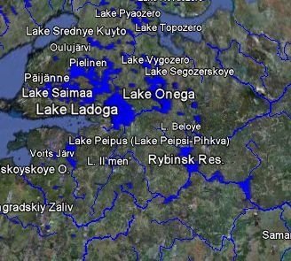
Last week, I posted about the new Natural Earth datasets, free medium-scale vector data for the earth to go along with the previously-available Natural Earth physiographic raster data. The Google Earth Library now has a KML network link that lets you view much of this data in Google Earth as layers, like here with lakes and rivers:

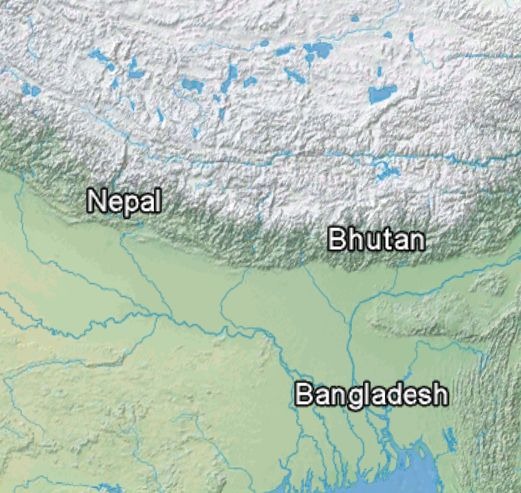
Obviously, most of these features will be visible in Google Earth as soon as you zoom in, but these datasets let you view features with names at lower zoom levels, and more distinct colors. Plus, this offers a quick preview of the data available from Natural Earth, so you can see whether it meets your needs for use in a GIS or mapping program in shapefile format. There’s also an overlay with the raster physiographic imagery:

All of the data is in KML network links in subfolders of the main link, and some datasets will take a while to load. It’s also probably a good idea to not check the box next to the main network link, as this will load all the data into Google Earth, which will take a while.