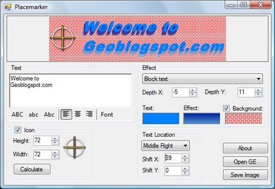
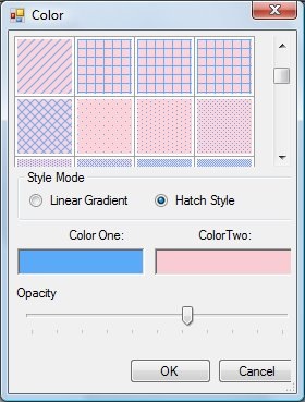
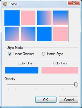
Placemarker, a custom placemark creator for Google Earth, was covered on this blog a few weeks ago. Valery Hronusov, one of its authors, writes to say that additional features have been added, and it’s pretty much complete. The new features include the options for linear gradient, crosshatch and custom backgrounds:
Mineful.com offers web survey, forms and marketing analytics software and services, but they’ve also just added a new section with free demographic data tabulation and visualization for the United States, broken down by state, county, zip code, and many demographic parameters (age, education, ethnicity, employment, marital status, etc.).
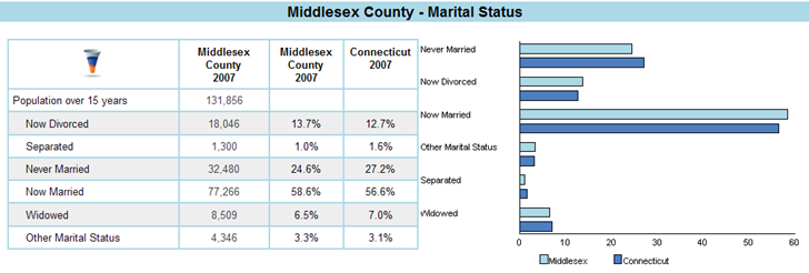
Unfortunately, the data isn’t downloadable. But for a quick overview of basic demographic data, it does the job. Jaime Brugueras of Mineful, who sent me the link, says that they’re working on additional capabilities for the site like search, radius profile, and more geography types.
The Maplecroft Maps website offers a wide variety of maps depicting a wide variety of factors (social, economic, education, environmental, etc.). The primary interface is Flash-based, with controllable legend/display, and links to additional information:
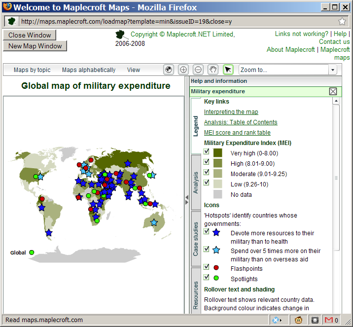
There are movies and a tutorial section that show you how to use the maps. Terms of use allow for non-commercial, personal or education use free of charge; read the full TOU for all restrictions (link at the bottom of the Maplecroft Maps home page). Additional similar maps are viewable at the associated Global Risks website (free registration required), but under a more restrictive TOU.
HT to Askan Schmeisser.
Geofabrik makes available Open Street Map (OSM) data available for download in both the original OSM format and also in shapefile format. For the latter, a short set of features is available in layers: “road and railway network, forests, water areas, some points of interest”. While the primary coverage area is Europe, there are some datafiles for Asia as well. The data files are updated daily on the server to reflect the most recent changes in the OSM dataset.
Enter a surname (last name) into the World Names Profiler, and get a choropleth map showing the population density of that name:
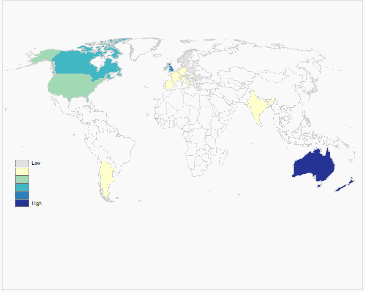
A table of the countries with the highest FPM (frequency per million) of that name:
Continue reading ‘Map Surname Densities With The World Names Profiler’
Zoe Watson writes about ZipWho.Com, a website that provides a quick summary of demographic data for any US Zip Code:
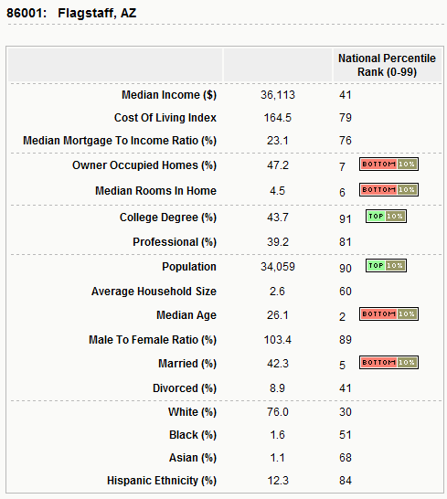
You can also search for zip codes that meet up to four criteria like household income, married status, ethnicity, educational level, etc., narrowing the search down to specific cities and states if you like.
The OneGeology website gives its mission as:
Make web-accessible the best available geological map data worldwide at a scale of about 1: 1 million, as a geological survey contribution to the International Year of Planet Earth.
While the official launch of the site is scheduled to coincide with the International Geological Conference in Oslo, August 6-14, the mapping portal site is already partially functional, although a few bugs and quirks still exist. It currently works with Internet Explorer 6/7, and Firefox 2, but not Firefox 3 (hope this changes soon). And while the goal is to have data for the whole world at a 1:1,000,000 scale, data for significant areas of the world are currently not available at that scale; for example, the US data is at the 1:5M scale. A partial list of the WMS data available and its scale is on this page.
Continue reading ‘Online 1:1M Geology Maps At The OneGeology Portal’
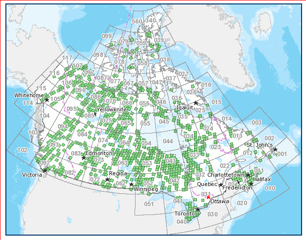
Slashgeo links to an announcement on Canada’s GeoBase site that SPOT imagery will become available for all of Canada by 2010. Panchromatic (black-and-white) imagery will be at 10-meter resolution, while four multispectral bands (Green, Red, Near IR, short-wavelength IR) will be available at 20-meter resolution; this is compared to Landsat 7 data (also available from GeoBase), with 15/30/60-meter resolution but more bands (one panchromatic, 6 multispectral, 2 thermal IR). A fair amount of imagery is already available:
Free registration required for access to GeoBase’s downloadable data, which includes a lot more Canadian geographical datasets (road networks, hydrography, topography, and more).

