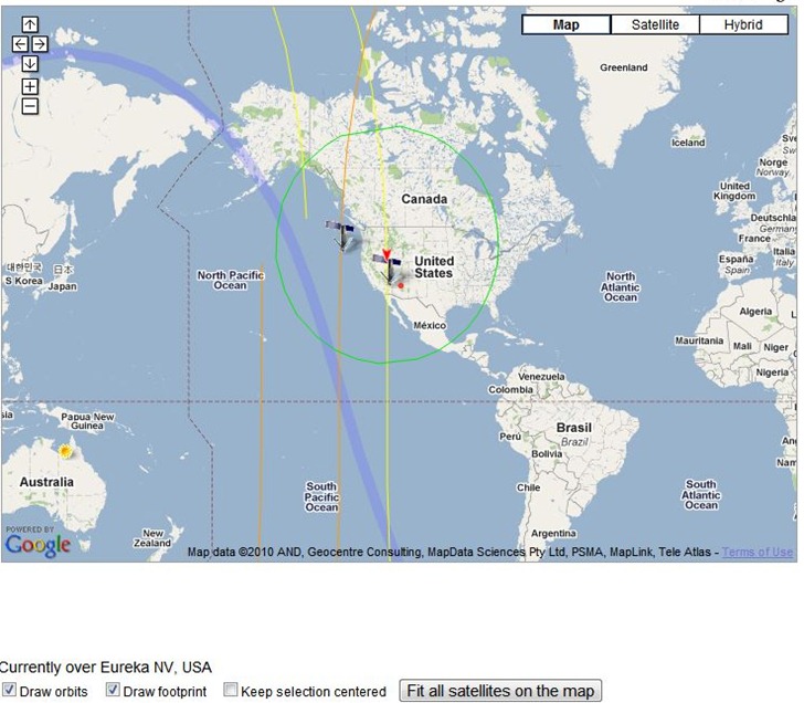
The Live Real Time Satellite Tracking page lets you select a satellite, or groups of satellites, and plot their position in a Google Maps interface. You can select all types of a particular satellite currently visible from your location, and plot them along with the satellite’s visibility footprint (Iridium satellites here):

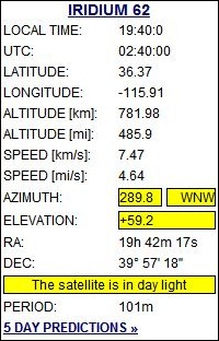
The graphical view updates in real-time, so you can see the satellite’s position change. A display shows you the current visibility parameters for the selected satellite:

You can select from lists of satellites with a single click:

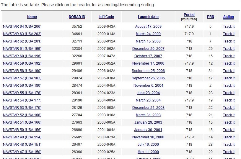
And then select from a list of satellites (GPS operational here) to choose which one to track.

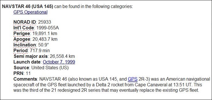
Clicking on the satellite name brings up additional info about the satellite:

With the “Up In Your Sky” links, you’ll have the option of selecting multiple satellites, including all of them in a particular category.
errr…what’s the link?
Whoops – sorry about that! Fixed; thanks.
Where can I find the link for the Iridium sattallites? Great article by the way.