Another route-drawing app for Google Maps, but with some unusual features. The Gmaps Pedometer lets you create a route by clicking in a Google Maps interface, as do many other similar apps. Some of its features are:
- The route can be straight lines between points, or be automatically routed for either running-friendly or cycling-friendly routes
- Optional mile markers can be drawn along the route
- Total route distance is calculated on the fly
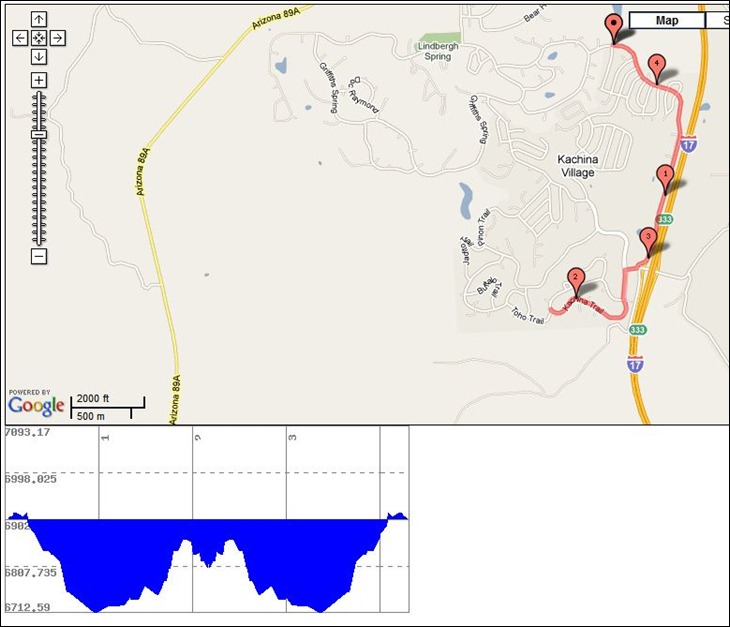
- You can display a graph of elevation change over the route
- You can automatically do an out-and-back calculation for a return trip by the same route
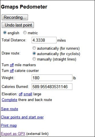
- Enter your weight and get an estimate of how many calories you’ll burn
- Save the route as a permanent link
- Print the map
- Export the route to GPX (this is an external link to the GMapToGPX site)
Map/route and elevation display:

Control panel and info readout:

Tips:
- Set all parameters (units, calorie counting, mile markers, etc.) before you start adding points; there doesn’t seem to be a way to change those after you’ve created the route and have those changes reflected in the map/display
- Press the “Start Recording” button to start entering points, and double-click on the map to enter a point
- If you want to export the route as a GPX, you should visit the GmapToGPX site first, and configure your browser as indicated to allow GPX export.
- I modified the Gmaps Pedometer link slightly so that it would start out centered on the US; to customize it for your own center point, take the link URL (http://www.gmap-pedometer.com/?centerX=-90¢erY=35&zl=13&fl=m) and substitute your desired longitude for the centerX value, and latitude for the centerY.