NASA’s Next Generation Blue Marble imagery (available here) is a set of 12 monthly composite images of the entire earth, using 500-meter-resolution imagery from the MODIS satellite. The Blue Marble Navigator offers a convenient interface to view this imagery, along with several other useful options.
After selecting your initial location from a world map, the main interface comes up:
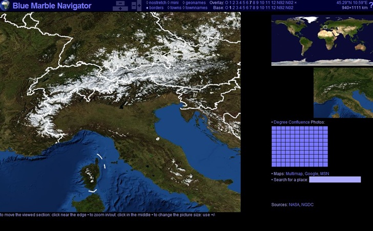
The large picture at left is the “base” picture; you can choose which month’s imagery to display here by clicking on the month number at top to the left of “Base” (“1” for January in this case). Clicking on the global image at upper right will let you change the location you’re centered on, with the white box showing the area currently displayed in the base picture.
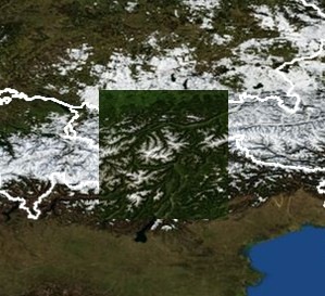
The selected “Overlay” is shown as the small picture at mid-right, which can be an image for a different month. In this case, it shows month “7”, or July, with less snow cover. Moving the cursor over the main picture will “overlay” a small square with the imagery from the selected overlay, so that you can compare the imagery for different months:
In addition to months 1-12, other image options are:
- “O” – The old Blue Marble imagery
- “N92” – Nighttime imagery from 1992, showing lighted areas (more info here)
- “N02” – Nighttime imagery from 2002
- “x” – Turns off the overlay image
The plus and minus buttons at the top change the width and height of the main image. Immediately to the right of those are several additional options that can be turned on and off:
- nostretch – Compensates for distortion of the map projection; most useful at the poles
- mini – Shrinks the sizes of the overlay and global overview images at right
- geonames – Turns on labels for geographic features (not a lot of labels, though)
- borders – Turns on white country borders
- towns – Puts a white box around the locations of cities
- townnames – Puts a city name next to the appropriate box
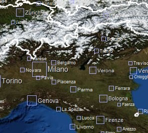
A nice touch is that the boxes are hyperlinks; click on one, and the Wikipedia page for that city will open up in a new window.
The blue grid at the right is an interface for the Degree Confluence Project. Move your mouse cursor over this grid, and a crosshair will move across the map marking a point where integer lines of latitude and longitude meet (47N and 11E here):
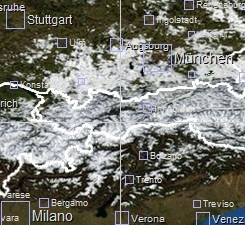
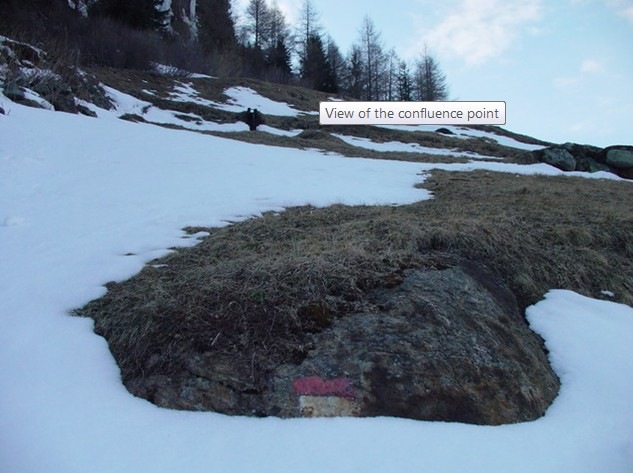
Click at that point in the grid, and the page for that location will open up in a new window at the Degree Confluence Project; if someone has been there, there will be a description and photos of their expedition(s) there, along with a photo of the confluence spot:
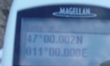
And typically a shot of the GPS unit with coordinates to prove that’s the spot:
A interesting way to explore how the landscape changes as you move across the globe.
Finally, there are links that take you to a view of the same area in MultiMap, MSN and Google Maps, and a search box where you can enter a desired location to zoom to in the base image.