GPSies is a site whose primary function seems to be as a social site where you can upload tracks of your travels, and have them posted on a map to keep track of them or share them with others. Tracks can be uploaded from standard formats like GPX or KML, directly from Garmin GPS using the Garmin Communicator plugin, or from the iPhone using their free app. This social aspect isn’t something I’m all that interested in doing, so those features are wasted on me. But the site has two tools that GPS users will find useful:
Upload a GPS file less than 12 MB in size in one of the following formats (or provide an http link to the file elsewhere):
- Google Earth (KML and KMZ)
- PCX5 tracks and Waypoints
- GPX tracks, routes and Waypoints
- GPX for Garmin Streetpilot
- Garmin Course (CRS and TCX)
- GeoRSS, Logbook
- NMEA
- OVL (ASCII)
- Fugawi
- KOMPASS Verlag (Alpenverein)
- Navigon Route
- OziExplorer
- qpeGps Track
- MagicMaps IKT
- TomTom ITN
- Suunto SDF
- Magellan Track
- PathAway
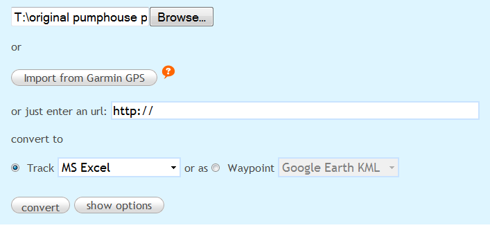
Or with the Garmin Communicator plugin, upload the data directly from your Garmin GPS. You then have the ability to convert and export the data in either track or waypoint format to any of the above formats, plus MS Excel:

This is a really nice, full-featured web GPS track creator.
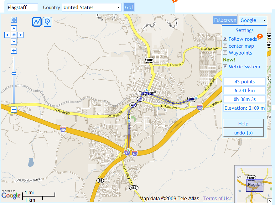
- With the blue zigzag selected, add track locations by clicking on the map (the blue points above); points will be connected automatically
- Drag and drop entered points to move their location; track will be updated automatically
- With “Follow roads” checked, track will be placed automatically on the shortest road route between points
- Distance, number of track points, and time to travel total track at an inputted speed shown at right
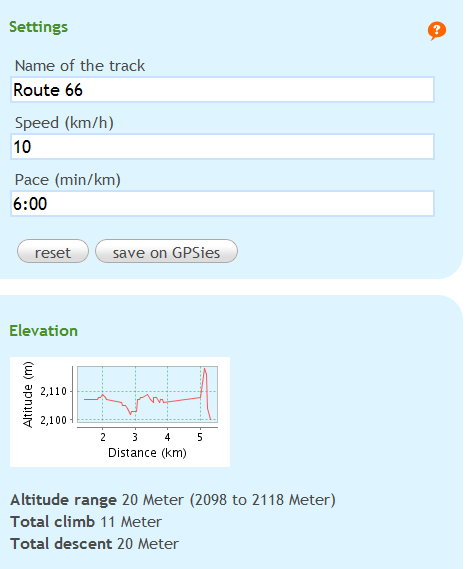
- Elevation profile and total elevation change for track
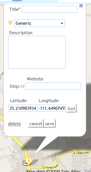
- With blue “i” selected, enter waypoints with full descriptive data
- Choice of Google Maps, Yahoo Maps, Microsoft Maps or OSM
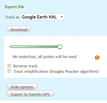
- Import or export data in the same formats as in the converter described above; options to reduce point count (using slider), reverse track, and simplify track
There’s also a coordinate finder, but I think that Digipoint is a better choice for this functionality.
After a long search, I ended up using gpsies.com
I find it a total relieve. No up- or downloading errors, easy to use and also very easy to adjust routes recorded. This last feature is very important, to filter out bits of the route where you got lost or so.
Only drawback: you can’t combine two tracks, so when you went through a tunnel and the connection was of for a while, still need mapsource to connect the tracks. Next version?