A long time ago, LizardTech had a stand-alone viewer for MRSID imagery that let you export subsets of the image as TIFF files – GeoTiffs if the original image was georeferenced. For some reason, that viewer was withdrawn as a free download in favor of a browser plugin, though you could still find the viewer available at some sites. I never really cared for the browser plugin, and kept my copy of their old viewer software safely stashed away.
LizardTech has just released GeoViewer 3.0, a new stand-alone viewer for georeferenced imagery, and a replacement for their $299 GeoView Express product. Note: The initial download is only 670KB, but that’s not the full program; it’s a front-end that downloads the 21 MB installer from LizardTech, so you’ll need a working Internet connection to install the software. It can read:
- MRSID
- JPEG 2000
- GeoTiff
- ERDAS Imagine
- ECW
- Express Server Layers
- WMS Layers
- JPIP Layers
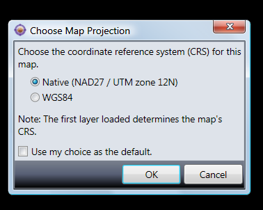
… and a bunch more, including vector shapefiles. It also opens JPEG and BMP imagery, and unregistered TIF images, but since it doesn’t seem to be able to use associated UTM worldfiles to register those images, it’s not clear how useful that is. If coordinate system data is embedded in the imagery, it uses the first file to set the native coordinate system, and re-projects successive files to match that native system. If that first file imagery is not in geographic coordinates (lat/long) and WGS84 datum, you’ll also have the option of re-projecting it immediately to lat/long, WGS84:

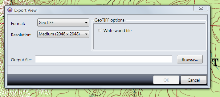
You can export either all the loaded data, or just the data in view, as a GeoTiff (Tools => Export), a raster PNG with worldfile, or JPEG with worldfile, in your choice of resolutions, using the Tools => Export menu:

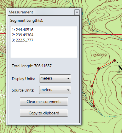
It also has a path measurement function, which works but is nothing to write home about:

You can load in multiple layers and mosaic them, and set layer transparencies, but you’re probably better off using other software for that. Really, the big thing about this program is that there’s now an up-t0-date, stand-alone MRSID viewer and imagery exporter from the company that created the format, LizardTech.
Thanks as ever for posting these useful updates. Is anyone else getting this error message when trying to install GeoViewer: “GeoViewer has encountered a problem and needs to close”? (On XP Pro.) It seems to happen after the installer finishes downloading the 23MB programme. I’m curious to see whether the new viewer still has the same subset/clipping ability as the previous version – that would be a big plus – if it works!
My installation was on Vista; I may give XP a try today.
Downloaded and installed in XP Home Edition without a hitch.