Note: you should read this post first for general info about how to use automated Google Earth caching programs.
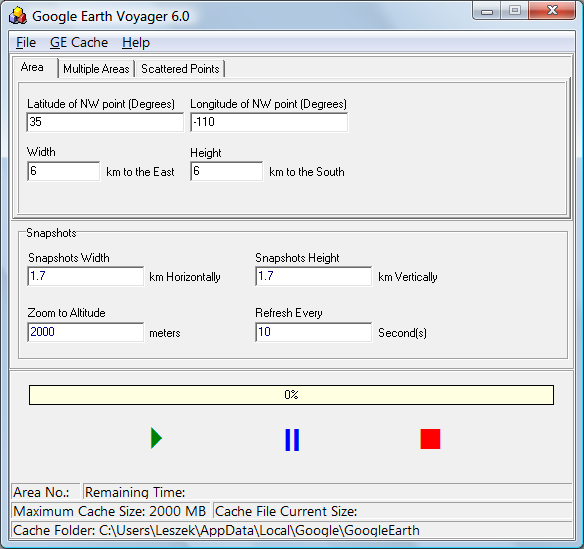
The final Google Earth cache automation program I’ll cover, and the only one that still seems to be under active development, is Google Earth Voyager. The original download link at GeoCities disappeared when GeoCities shut down; for now, you can download it from the CNet page; here’s another download site. The program zip file also contains a good user guide in PDF format; unzip all the files into the folder of your choice, and run the program:

As with GECacheBldr, you enter the NW coordinates of the area you’re interested in, and then the distance east and south of that point you want to create a cache for; I wish you could specify the bounds instead. Then set the width and height of the area covered by the Google Earth view, along with the altitude; note that the width/height is in kilometers, while altitude is in meters. GE Voyager lets you set the update time interval as well, which is useful. Once you’re done, you can open Google Earth and create a network link to the GEVData.kml file located in the same directory as the executable. This KML file comes in the zip file, so unlike the previous two caching programs, you don’t have to start/stop the program to generate the file. Once the network link is ready, clear the current cache if desired, click the green play button, and the caching process will start; you can pause or stop the process at any time. Indicators with the current cache size and time remaining are a nice touch.
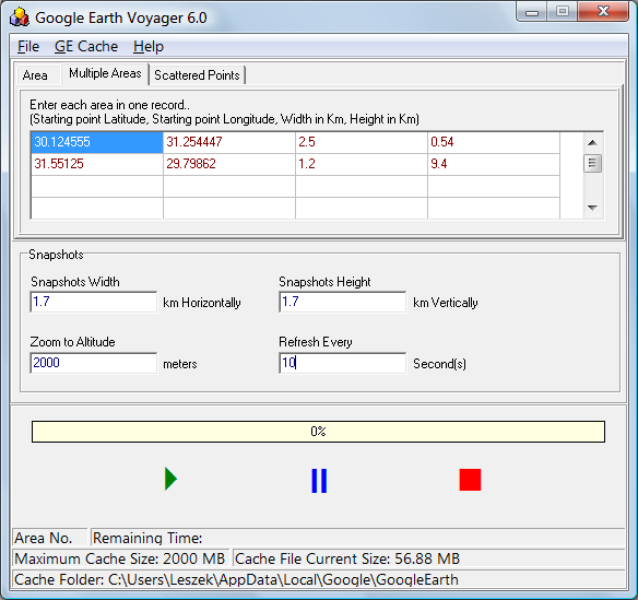
Unlike the previous two programs, you can specify multiple areas to be cached at the same time:

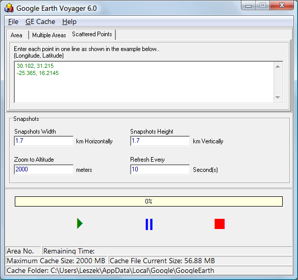
You can also entered scattered points, and have a single area around those points be cached; this, I think, is less useful than the multiple areas:

Under the GE Cache menu, you can open the folder containing the cache, which is convenient for making a copy of those files to store away in a different folder, or move to another computer. It also lets you change the cache folder, which I wouldn’t recommend unless you have a really good reason; it requires modifying the registry, and also might have other side effects as well.
GE Voyager is probably the best choice for general use in automatically creating a Google Earth cache for an area. If you could set the absolute area bounds, instead of the NW corner and distances, it would be almost perfect (if you need that capability, GE Cacher is the only choice, but its feature set is inferior to GE Voyager). The ability to do multiple coverages of a single area with different altitudes/resolutions would also be a useful addition.
Hi,
I enjoy reading your blog – I’m an archaeologist and find that a lot of your tips and tricks have a lot of relevance to my own work. I have a simple question about your posts on Google Earth caching: why bother? Is it simply to allow you to have and maintain a local cache of GE data? I can see benefits to this (especially when doing remote work where you don’t have a web connection!) but at the same time if I”m heading bush I just make sure I have had a good browse around all the areas I’m interested in thereby capturing it in the cache?
Or have I missed something? I”m not being critical in any way, I just don’t know and am wondering if there are additional benefits?! Thanks for the great site, I’m glad you started it up again.
Oops, please ignore my question – I just re-read your original posts and now understand that manually caching for large areas is tedious, hence the need for the programs!
Hi Leszek:
I’ve been a reader of your site for some time now and always enjoy you posts.
I found your latest series of posts on Google Earth caching particularly helpful.
Do you know if these techniques and tools would work with the GE Browser plug-in?
THANXS
amb
The Google Earth plugin does cache data, but unfortunately it flushes the cache automatically when it closes. So none of these techniques will work with it.
Thanks for the quick reply Leszek
Do you know where the GE Plug-In cache lives?
THANXS
amb
No, I don’t know where the GE plugin keeps its cache; sorry.
I derived an empiric formula to roughly calculate the total area covered for a given height to fill the maximum GE cache of 2000 MB. This formula works well for heights between 500 and 5000 meters, probably the most used.
A = (H/16)^2
A = area covered in km2
H = height above the ground in meters
Please note that height above the ground is NOT the same as eye height!
To give a rough idea about the area coverage:
height(m) Area(km2)
400 600
600 1400
1000 4000
2000 15000
3000 35000
4000 62000
5000 97000
Coverage also depends on your GE settings for layers and so on.