Two weeks ago, I posted about a web app from Metzger and Willard that offers useful info like PLSS data and a topo quad index in a Google Earth plugin interface. Poking around their site further, turns out they have a page called Earth Survey, a set of KML network links that installs those features into the stand-alone version of Google Earth, plus additional links that offer data not found in that web app. KML network links include:
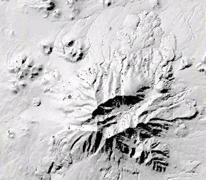
QUADS – Displays an index for USGS quad maps, and also the maps themselves as an overlay. Also has overlays for aerial digital orthoquads (color and B&W), and shaded relief maps (color and B&W). The color relief is pretty low-res, though, and the B&W relief appears to be based on unpatched SRTM data, as it has a fair number of holes:
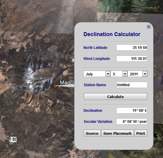
MagDec– Magnetic declination for any point in the world:
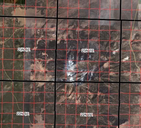
PLSGE– Township/range/section/quadrant/subquadrant, meridian and special survey overlays:
RINGS – Easy range ring generator for Google Earth:
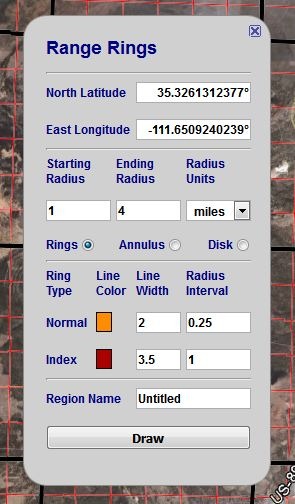
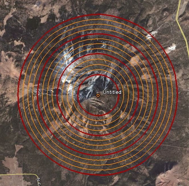
Rings show up in a separate folder called “Saved Places”; right-click on that folder and choose “Save As”, and you can save the rings as a static KML file for future use.
NGSCS – National Geodetic Survey Control Stations. Note that you have to click on Query Setup to specify search conditions, and then check the Search Results box in the Place pane to view them. Unlike the web app, there doesn’t appear to be a way to save a static KML file for a control station, though you can save the network link for that search result.
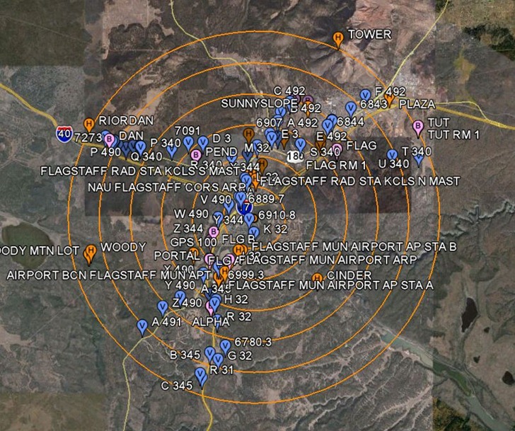
Other available links include a NAD27 to NAD83 shift calculator, a State Plane Coordinate System (SPCS) converter, and front-ends for the NGS online tools DEFLEC09 (“represents the deflections of the vertical at the surface of the Earth.”), GEOID09 (“refined hybrid model of the geoid in the United States and other territories”), VERTCON (“NGVD29-to-NAVD88 and NAVD88-to-NGVD29 orthoheight conversions”), and XYZ (“converting between Geodetic Latitude-Longitude-Ellipsoid_ht and XYZ on the GRS80 Ellipsoid”).
another great set of tools for land surveyors! thanks!