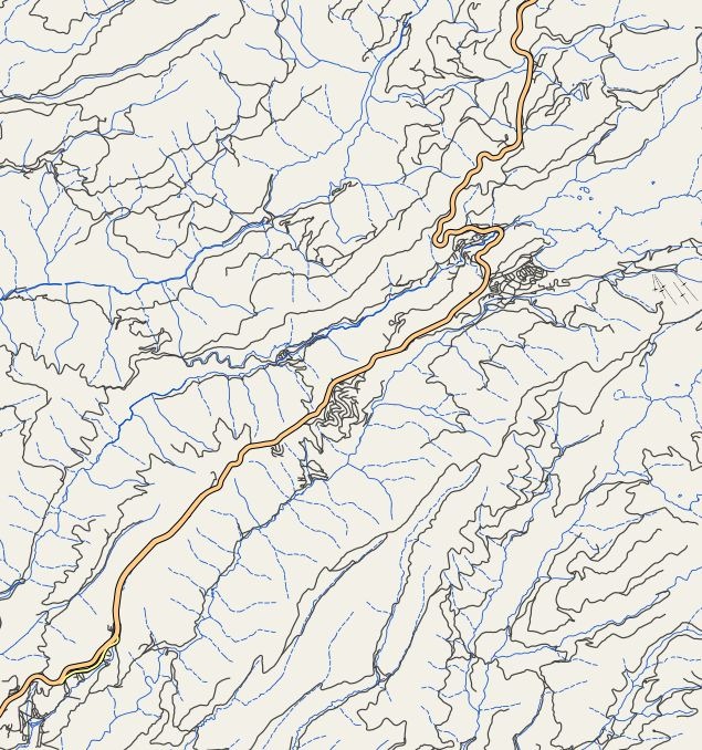
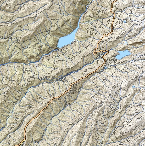
I’ve been checking in on Lars Ahlzen’s TopOSM site occasionally for a while now; he’s had a web-based map server with really nice Open-Street-Map-based topographic maps for Massachusetts and Colorado for a while now, but there hadn’t been any new additions for a while. Via the Mapperz blog, I see that there’s been a major addition in the past few months, with data added for the Western US (California, Nevada, Oregon and Washington). These are really nice-looking maps, with relief-shaded terrain, contour lines and road/trail data from the OSM project; starting view is centered around San Francisco:

Zooming in and out, and scrolling around, you may notice that it’s a bit on the sluggish side, as redraw times when all layers are turned on can be slow. To speed things up, and reduce load on the server, click on the “+” sign in the upper right to bring up they Layers control, and turn off contours and shaded relief:

The remaining map features layer, with roads and cities, will draw much more quickly now, and you can use this as a guide to finding an area of interest:

And then turn the relief/contours back on again:

Contour lines are on a 50-ft. spacing, and are labeled; a map legend is available for the Massachusetts map and presumably will be coming for the other maps as well.. Roads are well-labeled too, but geographic features (summits, water bodies, etc.) are hit-and-miss, since it’s based on OSM data; it would be nice to have geographic features from the USGS Geographic Names Information System (GNIS) overlaid on top, as that would make it closer to a true topo map display. Still, a very nice topo map server, and Lars’ ultimate plan is to have at least the rest of the US, and ultimately the world, mapped this way.
Leszek, its good to see Lars Ahlzen’s TopOSM work coming to the top of many independent reviewers eyes. It works very well on it’s own or for overlaying data like parks and recreational areas are some layers that are emphasized by the clever shaded relief that is TopOSM.
More details on how it is achieved is available here:
http://wiki.openstreetmap.org/wiki/TopOSM
with full credit to Lars Ahlzen
Mapperz
http://mapperz.blogspot.com/2010/05/parkinfoorg-parks-and-recreation-sites.html
Thanks for your comment. I thought I had linked correctly to the Mapperz blog post where I spotted the update of TopOSM, but the link led to the parkinfo.org site instead; I’ve corrected the link to point to the correct location.