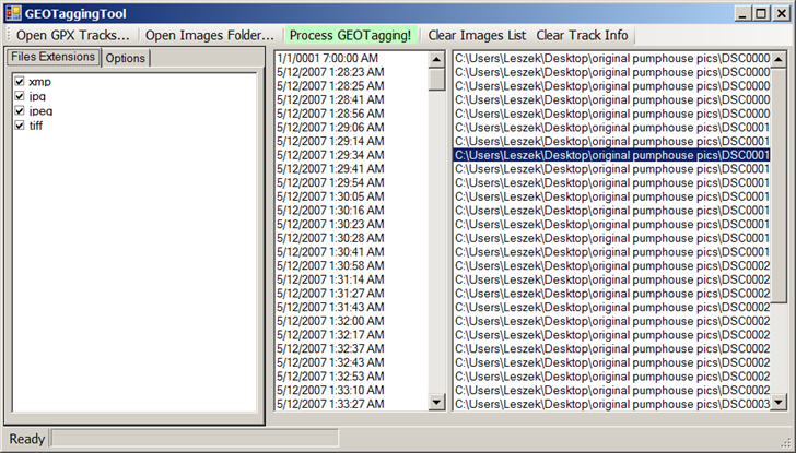
The website for GEOTaggingTool is in Russian, there’s no English documentation there, and there’s no help file included with the program. But as long as you can find the download link at upper left for version 0.5.1, that’s all you need. The program itself is in English, and there’s no install program; just unzip it into a folder. This has to be the simplest Windows photo geotagging application out there; click one button to open the GPX track, click another to open the images folder, then click “Process GEOTagging!” and the images will be geotagged (but be warned, the old images will be overwritten with the new geotagged versions without notice).
The only available options are setting the time offset and window for matching GPS track times with photo times, but GEOTaggingTool handled the time offset between my local camera time and UTC GPS time without touching these. Fast, simple and easy.
Note: Requires Microsoft .Net 2.0.
Thanks for the good information. Another application I like is called GPicSync (http://code.google.com/p/gpicsync/). Very similar in that it’s fast and simple to use – just select the folders containing your GPX file and your image files, and it does the rest. It also includes lots of option controls (including save output as KML), and won’t overwrite original images. And, help file is in English ;)
GPicSync is very good – I’ve covered it earlier on this blog. The best one I’ve found is GeoSetter, also posted about.