The Java-based GPS and geotagging application Prune, covered in earlier posts, has been updated to version 6.0. New features include:
- Map view using OpenStreetMap images is now integrated in the main window, with control for map transparency; you can open up an OSM map or Google Map for the track location in a browser as well
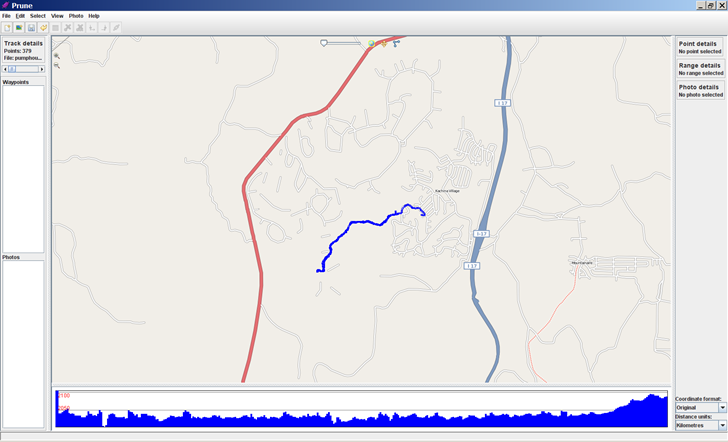
(You may have to turn off the firewall in Windows to get this to work)
- Pov export has a new option to use sphere sweeps for better appearance
- New function to check online for a newer version of Prune
- New function to take a section of track and cut/paste it to another position
- New function to add or subtract a time offset from point timestamps to correct for time shifts between a GPS track and camera time
- New function to call gpsbabel to load data directly from GPS receiver
- Additional file filter options on load and save
- Italian language support
Full support for all its features requires downloading of the Java3D library, exiftool, and GPSBabel.