Gazetteers are listings of the names, types, and coordinates of both natural and man-made objects. For the US, the US Geological Survey’s Geographical Names Information Service (GNIS) contains name, feature type and position information for over two million geographic features in the US. Feature classes include both man-made (populated place, bridge, canal, etc.) as well as natural features (arch, spring, arroyo, woods). There are a number of similar databases for the rest of the world, like the NGA’s GNS Server, and the GeoNames site.
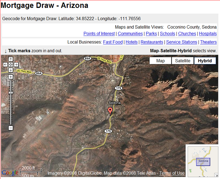
Another gazetteer website worth a look is SatelliteViews.Net. For geographical subdivisions, they have the US broken down by state, and the rest of the world by country. Select a state or country, then select the type of geographical feature you’re looking for, and get an alphabetical listing of them for that particular region. Select a specific feature, and you’ll get both the coordinates and a Google Maps display with the feature location plotted.
They claim to have 5.9 million worldwide geographic features indexed and linked.
Hat tip to Coy0tea (JG).