If you’re at all interested in maritime traffic, the MarineTraffic.com site is a terrific resource. And even if you’re not, it’s worth checking out as an example of how you can display real-time data in many different ways on one site using the Web.
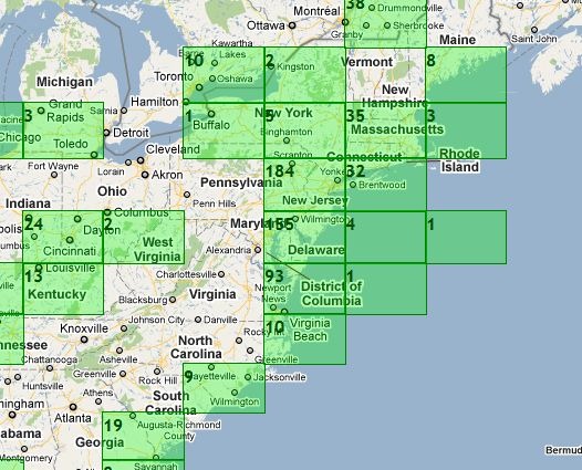
The main map view shows green gridded areas where the site has information on marine vessels; this includes not just the ocean, but also major inland waterways like the Great Lakes and the Mississippi River. Click on a grid square to zoom in.
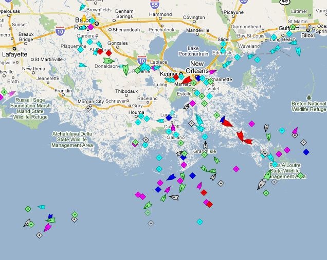
Triangles are ships in motion, with the point showing direction; diamonds are anchored/moored ships, or navigation aids.
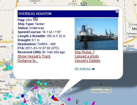
Click on a ship to pull up a popup balloon with more info, and links to even more information.
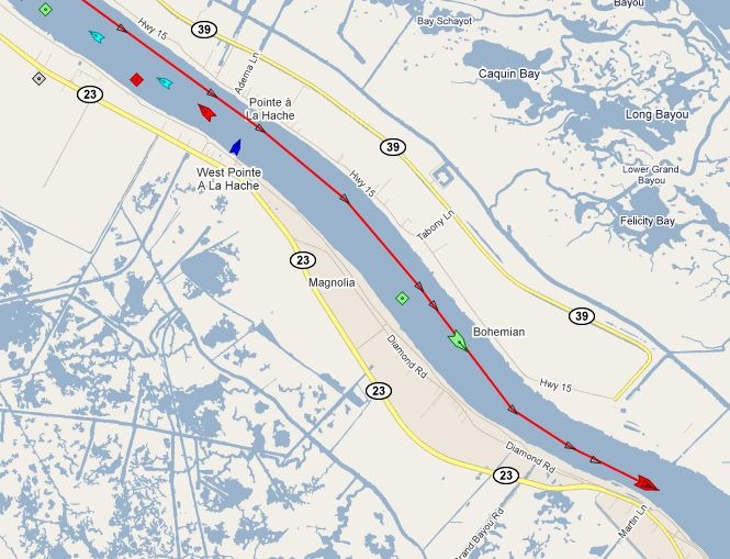
Clicking on “Show Vessel’s Track” brings up its recent travel path; passing the cursor over the track brings up time/speed/bearing data for every marked point.
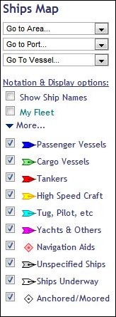
The map’s options section shows you the ship color legend, and lets you turn on/off display of various types, as well as showing their names. You can “bookmark” ships into “My Fleet”, and also go to specific ports/areas/ships with the dropdowns.
The Services section offers many other data options, including:
– The ability to embed a map with real-time ship data on your website.
– Apps for iPhone and Android (Android app reviewed today at AndroGeoid).
– A mobile-enhanced website for use on other mobile platforms.
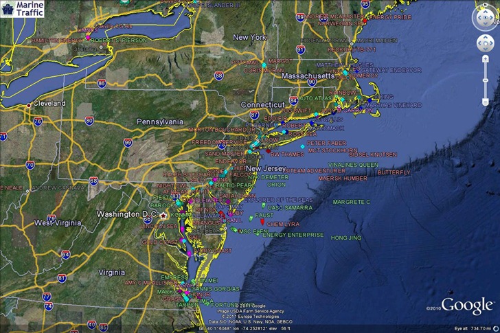
– A KML network link for use in Google Earth.
HT to Goya Bauwens.