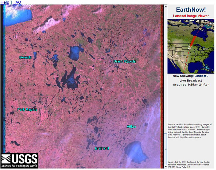
Honest-to-God (almost) real-time satellite data from the EarthNow! viewer. The catches are that it’s low-resolution (250-meter) Landsat data streamed from the satellite to your computer screen, so you only see the area the satellite was above recently. And since the image data is constantly scrolling across the screen, the only way to save an image is to do a screen capture. Still, fun to watch (click on the image below for a larger view, showing part of Michigan):

Via AllPointsBlog.
Edited 4/25 to change the resolution from 30 meters (which is what processed Landsat band data is) to the correct number of 250 meters. Also, it’s not really “real-time”, but almost.
yes, the only way to capture the picture is doing print screen but there is a method to ‘stop’ or ‘rewind’ the view: you have a scroll bar between the satellite view and the map. i didnt see it at first but sometimes it appears or if its ‘invisible’ try clicking in the place where it should be (between satview and map) so it will show up.
First I thought it’s real time streaming, but after reloading the page it goes from top again. But yes, in the scope of days it is “real time”