The US Department Of Agriculture’s Natural Resources Conservation Service (NRCS) – National Cooperative Soil Survey has a Web Soil Survey site that lets you query and access US soil data, but I’ve always found it slow and difficult to use. The California Soil Resource Lab at UC-Davis has created the SoilWeb data service, which recasts this data into a number of easier-to-use formats:
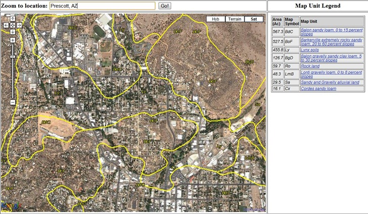
- A Google Maps interface, which allows direct access to more detailed information for a soil unit. Scroll/zoom to an area, and see soil units plotted on the map, with a dynamic legend at right:

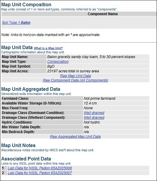
Click on a link to open a new page with links to more detailed info:

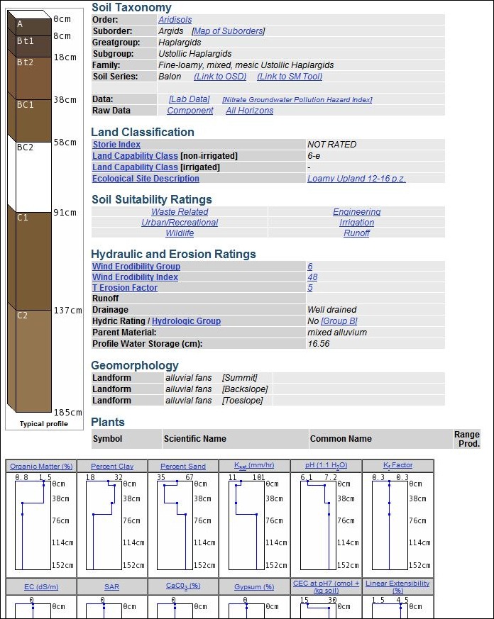
For example, clicking on the “Soil Type 1 Balon” link brings up a data page with the soil column, taxonomy, common vegetation types (if available), plus lots more:

- Smartphone apps for both iPhone and Android, so you can view comparable soil data out in the field if you have Internet connectivity and a GPS position fix. See my review of the Android app here.
- A text-only interface
- A Google Earth file that offers similar maps and links to the Google Maps interface, but which I find less convenient to use.
- And a HTTP SoilWeb API that allows for text-based and WMS queries