Figures that the week after I posted about US National Weather Service live network KMZ links, Google added live weather data to Google Earth. Look in the Layers pane for the Weather folder, where you’ll find layers for Clouds, Conditions And Forecasts, and Radar. The Clouds layer is worldwide and appears to be fairly up-to-date, though there’s no time stamp to confirm this. Clicking on a “Conditions” icon brings up “current” conditions and the forecast” for the entire world (even including locations in Antarctica).

But the time stamps shows the current conditions are about 3-4 hours behind the actual time.
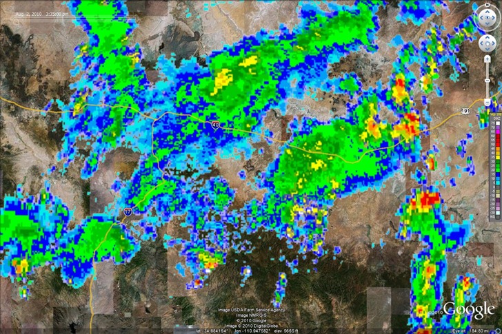
Last week, I compared the National Weather Service radar conditions using their KMZ overlay:

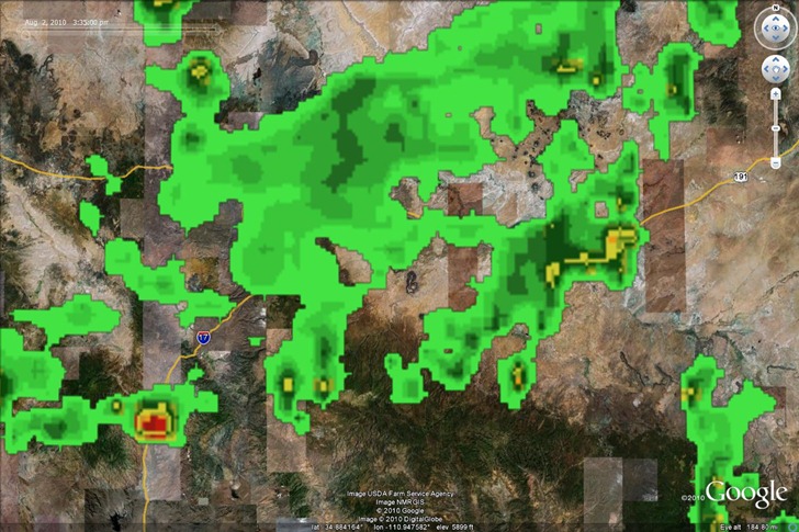
With Google’s radar data for the same area and time:

Fairly close, but it looked to me as though Google’s data was about 30-60 minutes behind. And the NWS data not only showed a better-defined range of precipitation intensity, but was available in animated format, so you could see where the rain was heading. Google Earth only has radar data for North American and Western Europe. So, it’s a decent start for weather in GE, but it needs some work; for the US, the National Weather Service KMZ overlays are a much better choice.
Hello! Thanks for posting this. I have been reading Google blogs about this new feature and I haven’t come up with any negative comments (I guess that’s a given). Anyway, I’m glad that somebody finally had the guts to show the comparisons and disparity. :) Keep it up!