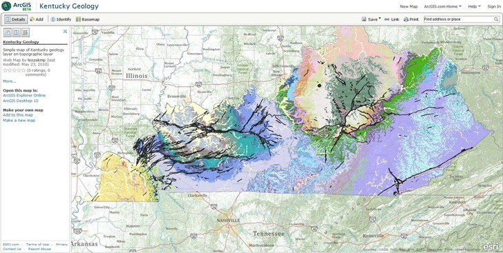
Lots of post on numerous blogs in the past few days about ESRI’s ArcGIS.com site coming online in beta format. From the help file:
- Tools for building interactive maps
- Maps and applications from the Web and GIS communities
- Basemaps and specialty layers from ESRI
- Developer resources for building Web mapping applications
- Storage space for your map and application resources
- Communities for sharing geographic information
- Easy-to-use search for quickly finding what you want
- Ranking and rating system for shared maps and applications
Requires an ESRI Global Account to save maps and upload data (free); even if you have a GA, you may have to register for a new one, as it wouldn’t take my old account info. Creating a basic map is pretty simple – choose a background map and a data layer:

In my ignorance, I was hoping for a full free online GIS experience, like the GISCloud app I posted about a few weeks ago, and this isn’t it. For online data sources, you’re limited to either ArcGIS Server, Web mapping services, or mobile apps. For your own data, you’re limited to data packages created by ArcGIS products, like map packages (mpk) or layer packages (lpk). If you don’t have ArcGIS, you’re out of luck – no raw data files like shapefiles or raster imagery accepted as content. That isn’t a slam – it just means that I’m not the intended target, an ESRI product owner who wants to develop web/mobile mapping sites and applications. If you are, this site is very definitely worth exploring. Of note for app developers, there are APIs for Javascript, Flex, Silverlight, iPhone and Windows Mobile. For more info, I’d recommend a listen to the latest Very Spatial podcast; they have an interview with Bern Szukalski of ESRI about ArcGIS.com.
Addendum: James Fee has a far more comprehensive (and knowledgeable) overview than mine.