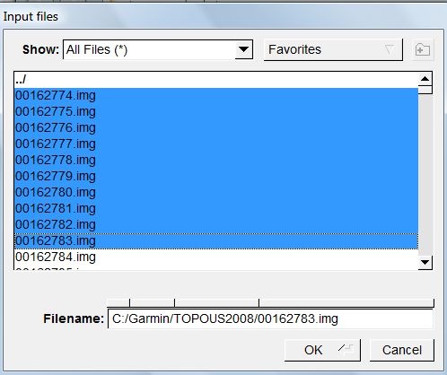
If you load a Garmin mapset into MapSource, individual tiles are identified by a geographically-related name, and they area they cover plotted on a map. But the tile files themselves (*.img) have cryptic 8-digit filenames that don’t correlate with their name or the area they cover. But there’s a simple way to look at a file, or multiple files, and determine both their name and the geographic area they cover using the freeware utility GMapTool. Start up the program, click on the Add Files button, and go to the directory containing the .img files, here from the Garmin Topo 2008 mapset:

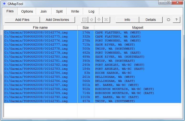
Select one or more files, click OK, and you’ll get a listing of the filenames, their sizes, and their names in the Garmin mapset:

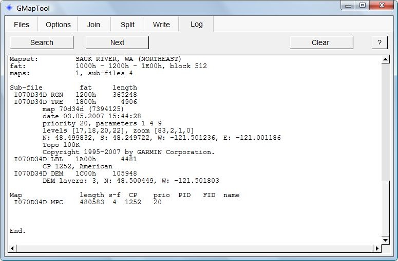
To determine the geographic area covered by a map tile, click on the tile, then press the Details button:

The geographic extents of the tile in latitude and longitude are buried in the middle of this listing:
N: 48.499832, S: 48.249722, W: -121.501236, E: -121.001186
Useful if you want to create a mapset that’s a subset of a much larger mapset, and want to figure out which tiles you need.


