I’m never quite sure what to make of the US Government’s National Atlas website. Don’t get me wrong, I really like the site, but that’s as much a function of the serendipitous nature of the maps and data you can stumble across as it is its utility. I don’t know that I’d send someone there to look for a specific set of data, since the datasets and categorization are all over the place. But it’s a fun site to poke around in. Among the stuff you can find:
- GIS-ready data in shapefile, DBF, SDTS-TVP and GeoTiff formats, covering a wide variety of topics both pedestrian (census demographic data, water bodies) and exotic (maps of butterfly distribution; magnetic field intensity)
- An onsite MapMaker that lets you browse through information about different datasets, and then plot them interactively for export or printing
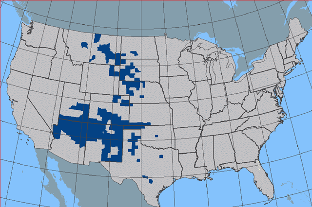
Distribution of Strecker’s Giant-Skipper butterfly in MapMaker
- Dynamic online maps (mostly Flash) that illustrate oddly diverse topics like volcanoes and the spread of avian cholera across the US
- Pre-formatted maps like West Nile virus and US timezones in PDF and GIF format for use in reports, or printing in 8.5 x 11 size.
- Large-format wall maps for sale.
- A very eclectic mix of articles on different topics (Zebra Mussels; Engineering Aspects of Karst; Snow Surveys and Water Supply Forecasting).
You may not find exactly what you’re looking for at this site, but it’s worth checking out just to see what they have.