Zillow has released shapefile boundaries describing neighborhoods in 150 major cities, grouped by state. Available under the Creative Commons license, they’re free for general use in any application as long as you attribute Zillow as the source. Coverage is still limited; in Arizona, only the two largest urban areas (Phoenix and Tucson) are included. But Zillow encourages submissions of neighborhood boundaries for cities not currently covered in their database, and will work on including those submissions after they’re verified. Projection is geographic (latitude/longitude), NAD83.
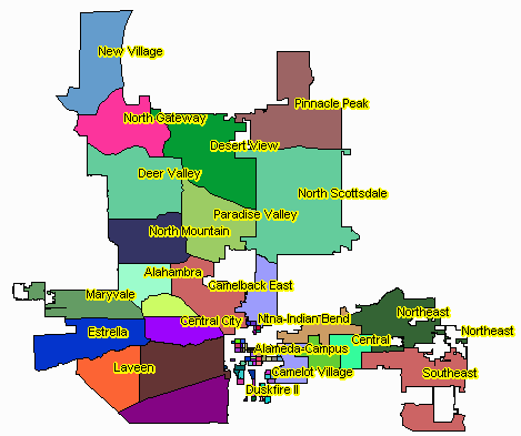
Phoenix neighborhoods (created with the TatukGIS Viewer)
Just a small point – the data isn’t really “free” (you can own a thing that is given to you for free, but you will never own their data; any changes you make must be shared in kind). Interesting model though!
There are obviously many different definitions of “free”, as in “free speech”, “free beer”, “free software”. When I say “free”, I mean that it doesn’t cost you any money to use it.