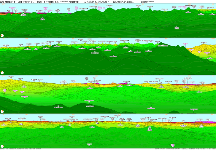
The Viewfinder Panoramas website has an eclectic mix of mountain-related data available. Computer-generated panoramas from the peak of about 200 mountains across the world show the terrain visible from the tops of those peaks, with individual terrain features labeled. Here’s an example, looking north from the top of Mt. Whitney in California (click on the image for a larger view):

The site also has links to DEM terrain data for a number of mountainous regions. Some of it is custom high-resolution data extracted from topo maps, while other datasets are SRTM-90 data with the holes patched using data from topo maps. Areas covered include the Himalayas, Andes and Alps, but scattered data from other areas (e.g. the Canary Islands, Japan) is also available. SRTM-90 data with the holes patched is available from the USGS Seamless Server, but the patching process used there can result in anomalies in the DEMs. The DEMs from the Viewfinder Panorama site appear to be of significantly higher quality than the SRTM-90 data in many cases.