A short followup to my earlier posts on large-format downloadable historic maps and online historic map collections:
American Geographical Society Library Digital Map Collection: Based at the University of Wisconsin – Milwaukee, the collection currently holds 200 online maps, with more on the way. Strongest in maps of Wisconsin and the surrounding area, but has an assortment of maps for other locations as well. No download links for maps.
Hat tip to Nina Frantzen in the comments.
The Boston Public Library’s Norman Leventhal Map Center has strong holdings in maps of Boston, Colonial New England and the American Revolution, but also collections of some of the earliest printed maps, and European/Dutch maps from the Age of Discovery.
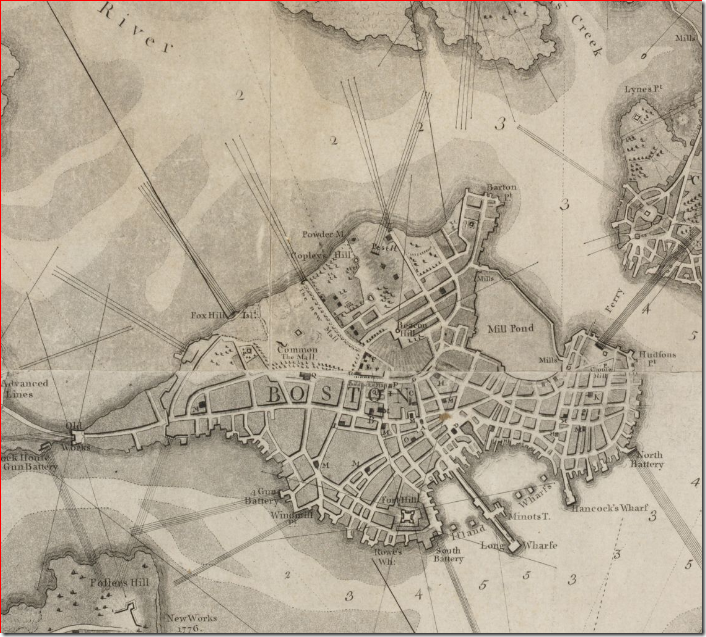 Detail from map of Boston (1777)
Historic Cities: Historic maps of cities from the Hebrew University of Jerusalem and the Jewish National University Library; catalogued by city and country. Also links to city maps at other websites.
Broer Map Library: Historic and modern maps from around the world in a Zoomify interface. Also includes links to historic maps in Google Earth KMZ format.
Another useful gateway is the Map History / History Of Cartography site.