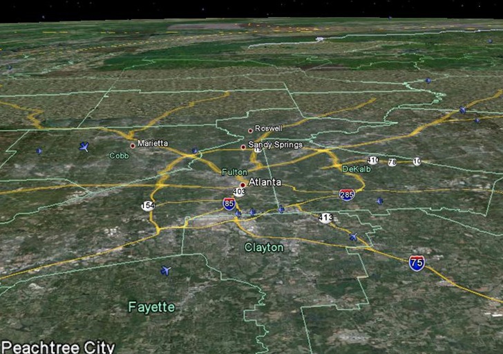
New from Google, a Google Earth network link that shows near-real-time US flight positions, full 3D position:

Mouse-over a plane, and see the route it’s taken up to that point in blue:

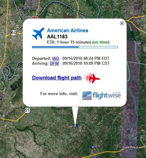
Click on a plane, and get a pop-up with flight info, on-time status:

Click on “Download flight path”, and download a KML time animation of the plane’s flight to that point; click on the play button at upper right to start the animation.
Flight info is delayed roughly 15 minutes.