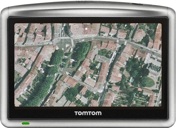
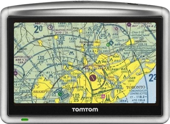
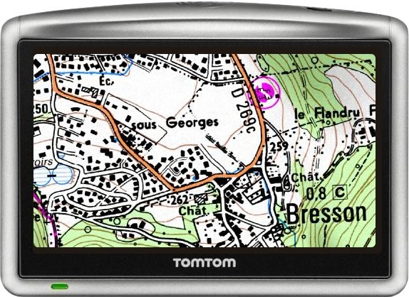
There’s been a lot of buzz lately about Garmin adding raster map compatiblity to their Colorado/Oregon/Dakota lines of handheld GPS units; I’ll have something to add to that later this week. But I just stumbled across ttMaps, a free application that claims to let you view custom raster imagery on a TomTom GPS unit. Most (if not all) TomToms are designed primarily for automotive use instead of general outdoor use, but TomTom owners may still find this useful. Don’t have a TomTom myself, so I can’t try it out, but the screenshots (from the website) look promising:


Reading through the site, the biggest hurdle is likely to be getting the maps in the correct format; the program accepts maps only in the ECW format. The site’s Map Conversion How To walks you through using the free gdal_translate utility (available as part of the FWTools package), but as a command-line function with lots of parameters, it’s not the easiest process.


