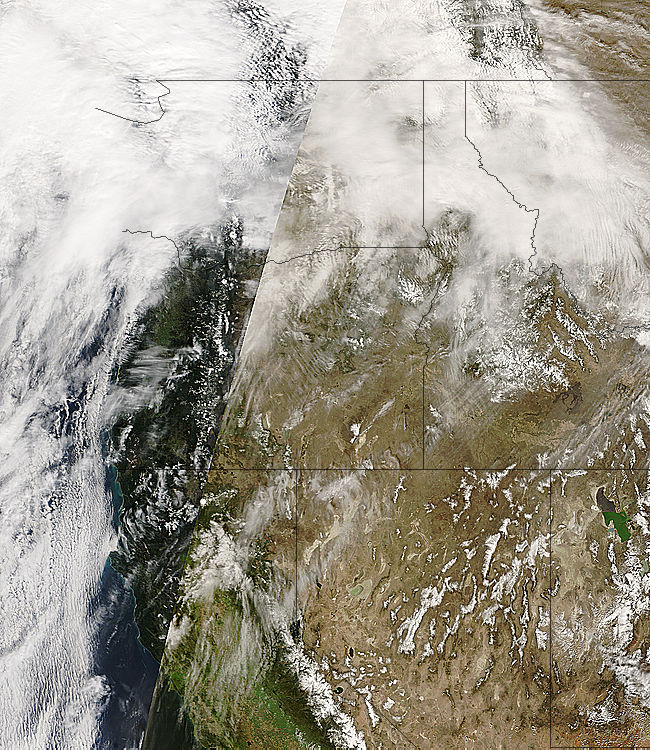
The Moderate Resolution Imaging Spectroradiometer (MODIS) is a low-to-moderate resolution multi-spectral imaging system currently in operation aboard two NASA satellites, Terra and Aqua. Both satellites are acquiring imagery on a continuous basis, and NASA has created a website that allows access to near-real time georeferenced imagery from both satellites, as well as archived imagery from previous days.
You can access the data from the MODIS Rapid Response System website. The link to Near-real-time production shows the most recent images, but most of these aren’t orthorectified or georeferenced, making them of limited use in GIS systems. For that, you should access the Near-real-time subsets page. Opening that page gives you a map showing all the MODIS coverage areas across the world from various subsets, along with continental submaps:

Clicking on a red rectangle will bring you to a page that allows you to download MODIS images (usually a choice of Terra or Aqua) in JPG format in resolutions varying from 250 meters to 2 kilometers per pixel; right-click on the image in your browser, and choose “Save Images As …”. You can also download a .jgw worldfile for that image (right-click on the link and choose Save) that will allow you to georeference it in a compatible GIS program. Another link at the top of the image page brings up a list of available images for this area from previous days.
At the top of the page is a set of links to the subsets; Aeronet and FAS have coverages scattered across the world, while the rest are localized coverages. While all the subsets have “true-color” imagery reproduced from three of the bands:

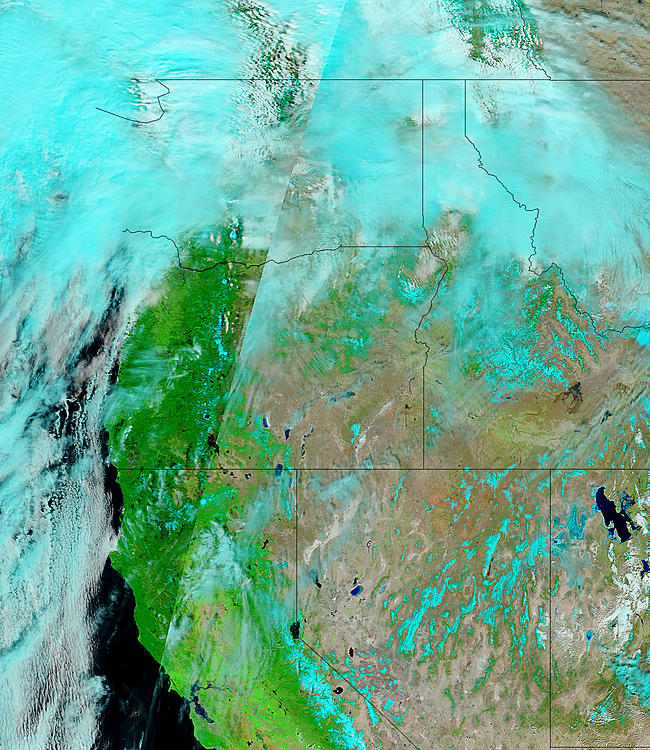
The FAS subset is notable because it includes several other sets of false color imagery. 721 are bands selected because they show burned areas very clearly, useful for monitoring forest fires and their effects:

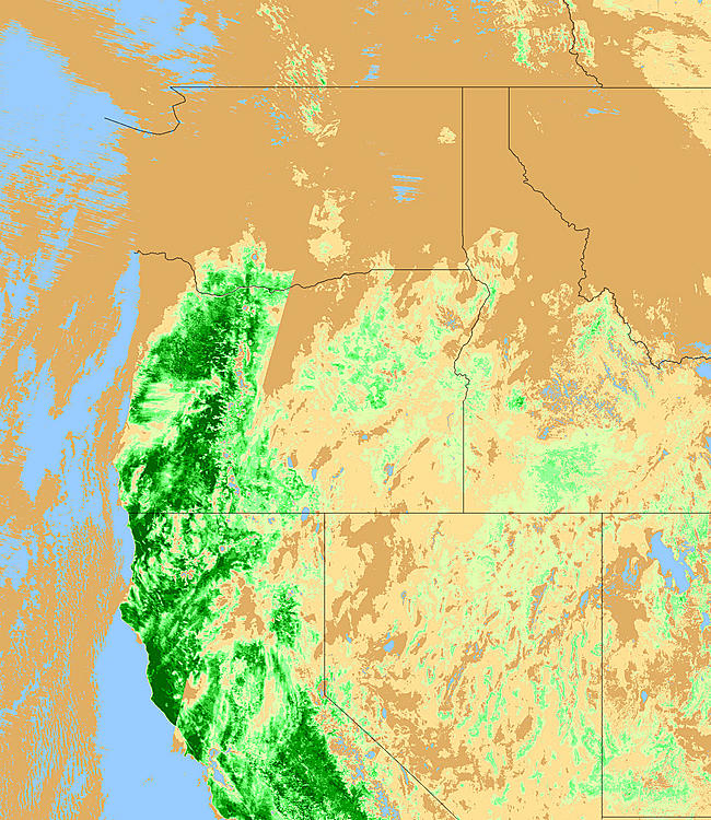
The Normalized Differential Vegetation Index (NDVI) is a measure of the degree of vegetation cover for an area (defined as (Near IR – Red)/(Near IR + Red)). The greener the color, the more vegetation there is; but if there is cloud cover in the image, it will block out any signs of vegetation, so only cloud-free areas can be evaluated with these images:

OnEarth WMS server offers MODIS xml files for NASA World Wind and kml for Google Earth.
http://www.worldwindcentral.com/wiki/Add-on:OnEarth (direct link: http://onearth.jpl.nasa.gov/OnEarth.xml)
http://onearth.jpl.nasa.gov/KML.html (http://onearth.jpl.nasa.gov/OnEarth.kml)
(note that the server seems down ATM)
we have long pipelines in egypt and we look for monitor all the
> right of way and trace our people during patroling
> if you have these services pls contact me or send information to:
>
> eng.A. elgayar
> safety & security manager
> sumed
> p.o.box 94
> suez
> egypt
> E-mail: abdallah gayar@sumed.org
> or : elgayargr3@yahoo.com
> mobile: +20101438360
> regards
>
Only specialized military/intelligence satellite operations would allow you to do something like this in real-time, and their data is obviously not available to the public.