Zonum Solutions, the source of such utilities as shp2kml, kml2shp, kml2x, and DigiPoint, has just released another good one. MapTool not only lets you determine the coordinates and elevation of any point in Google Maps, but also lets you measure both distances and area directly in Google Maps as well.
Go to the MapTool website, and move the cursor around the map – the coordinates will appear in the upper left-hand corner. Default is latitude/longitude, but if you check the UTM box, you will get UTM coordinates in meters; you can also turn off the zoom and scale bar by unchecking the appropriate boxes. Select “Elevation” from the drop-down box, click on a point on the map, and a green dot will be plotted, with the elevation at that point displayed in the bar at the top:

For elevation, you have the choice of meters or feet.
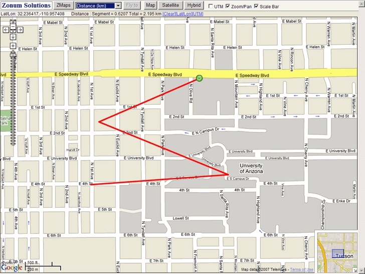
Selecting “Distance” from the dropdown, click on the map to create the points you want to measure the distance between. You can click on more than two points – MapTool will give you the distance of the last segment, as well as the total distance of all the segments plotted:

When you’re done, click on “Clear” at the top to end the measurement and clear out all the on-screen points. For units, you have the choice of meters, kilometers, feet, yards and miles.
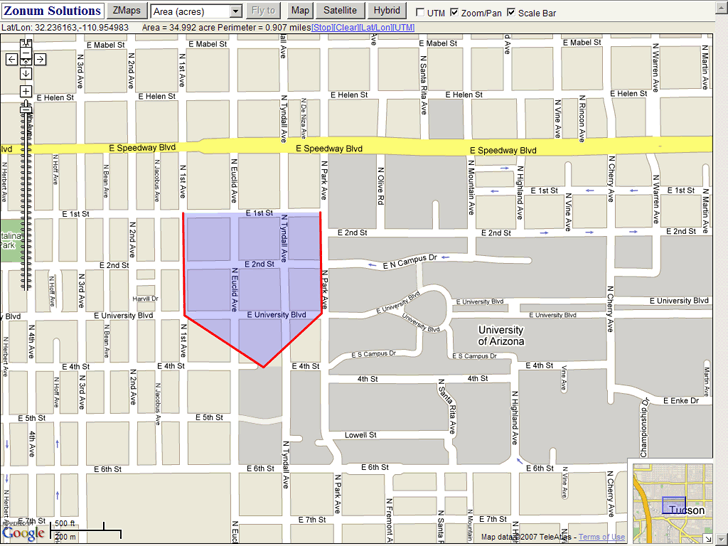
Finally, for area measurement, select “Area” from the dropdown, and create perimeter extremity points on the map by clicking with the mouse:

The area and total perimeter length will be displayed in the bar at the top. For units, you can choose between square meters, square kilometers, hectares, square yards, square miles or acres. Clicking on “Stop” stops the measurement, but leaves the shape and dimensions on the screen; clicking on “Clear” wipes out the on-screen shape and dimensions.
Dear Sirs,
Help me please. I want to measure some buildings plots areas with GPS system but I dont know hat equipment i have to purchase. I live in Greece. Regards. Jacek