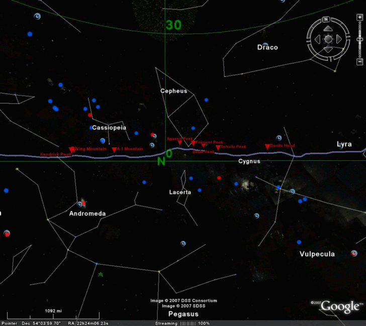
The creators of HeyWhatsThat, a site that generates panoramas and viewsheds for Google Maps and Google Earth and described in an earlier post, have added another cool feature. Generate a panorama, click on the “View in Google Earth … at night” link, have it open in Google Earth in Sky mode, and the horizon line will be plotted against the sky for the specified location, labeling each of the features. Lots of good stuff at the HeyWhatsThat site!
I recently downloaded the new google earth. It is a little overwhelming at first, but you get use to it. Well while looking at the millions of stars and galaxies, my friend and I found several weird lights in the sky. They are quite strange, and i urge you to check them out. http://bluebeamsingooglesky.blogspot.com/
A quote from Galaxy Zoo about the blue lines mentioned in the comment above.
http://www.galaxyzoo.org/Tutorial.aspx
“As satellites orbit Earth, sunlight reflects off their solar panels, making them look very bright from the ground. Because the satellite is moving as the telescope’s camera is taking an image, the satellite makes a trail – a streak across the image. The trail is coloured because the colour images for the site are made by combining three black-and-white images, and the satellite only appeared in one image.”
One addition: it’s showing you your horizon AT THAT MOMENT, because as the Earth turns your horizon will move across the sky. Just refresh the Network Link any time you need to update to the current time, or see http://www.heywhatsthat.com/techfaq.html#planisphere_api for how to request other instants.
In response to feedback there’s now a finer alt-az grid available, and we’ve thrown in the Sun and planets (and Pluto too).
MK