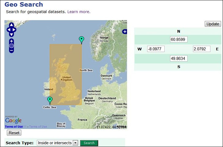
Addy Pope of the University of Edinburgh writes to announce ShareGeo, a data repository for open geo data that is freely shareable and distributable. While it’s open for use by anyone, the datasets currently available show a not-surprising bias towardsUK-related data. You can search for data by date, subject, source, title, or more generally by defining geographic extents:

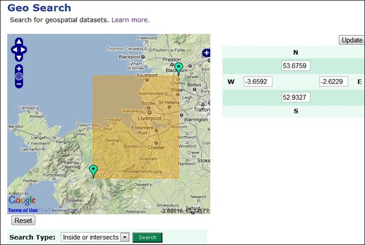
The initial view shows the defined area of interest as the yellow rectangle; you can adjust the extents by modifying the lat/long coordinates directly, or drag/drop the green markers to redefine the extents directly:

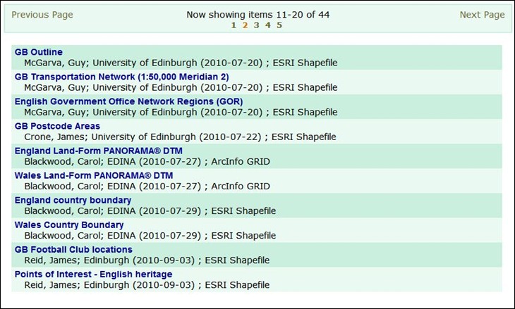
Once done, click on Search, and get both a list of available datasets for that area:

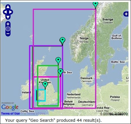
And a map that shows the extents of all datasets listed below it:

Click on a maker to identify which dataset’s extents it corresponds to. If you move to another page of results, this map will update automatically to show the extents of the new results listing.
Registered users (free) can upload data directly to the repository, or use a free extension to upload directly from ArcGIS.
Hello,
although it is not really writtern there, the start of the article may sound like the portal is intended for anyone to share data, not just to use them, and that the bias for UK data is a temporary coincidece because of the location of the service. But in the Overview of the service there is: “It is the place where researchers, students and lecturers at UK HEFE institutions can deposit data for anyone to
download and use.”
Regards,
Tomas Brunclik