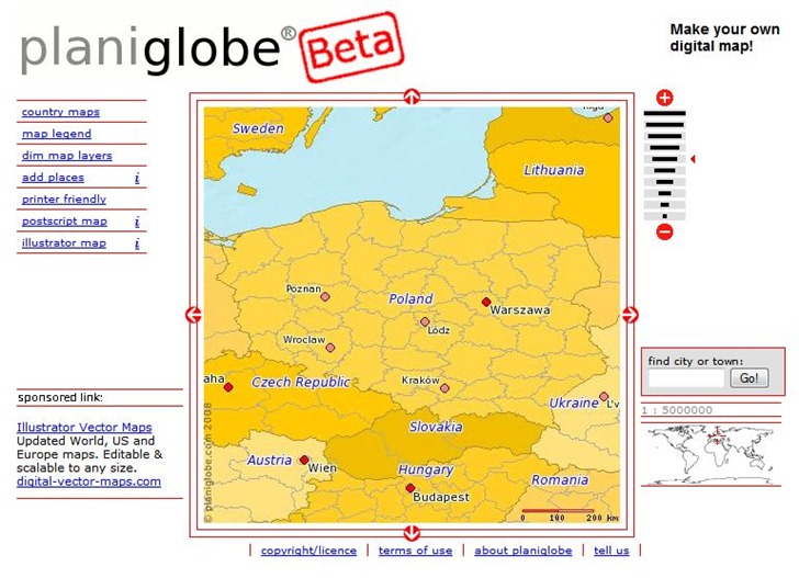
Planiglobe lets you select a country or world region, and then download a Postscript or Adobe Illustrator file with that data:

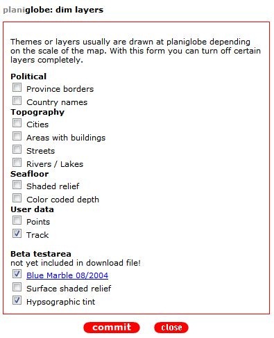
You have some control over layers displayed, though not that much:

Note that you check a box to *not* show a layer; this really needs to be fixed. You should also make sure that pop-ups are enabled for this site, and be prepared to click a link several times to get it to work. I couldn’t get the “add places” function to work; this supposedly lets you add your own points to a map. It also appears as though the map is in geographic projection (Plate Carree), which introduces major distortions in shape even at the country level; I’d like to see this changed to Mercator.
But hey, it’s in beta, so I’m guessing it will get better. If you need vector maps in SVG or WMF format, D-Maps is a better choice, but if you need them in PS or AI format, you might give this a try.