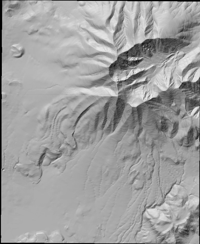
Standard terrain visualization programs like MicroDEM or 3DEM typically give you the option of viewing terrain either from top down:
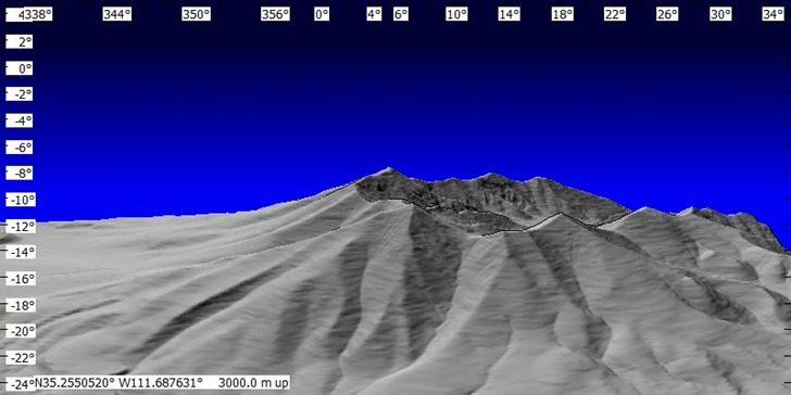
Or from an oblique angle, looking in one direction:
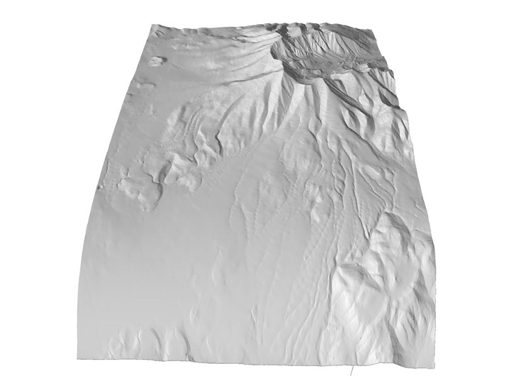
Terrain Bender offers you the ability to warp the terrain so that you can combine both views in a single image; this is analogous to the view from an airplane window, where you look straight down at terrain below you, but at an oblique angle at objects further away:
You have complete control over the degree of bending by clicking and dragging the control points on the bending graph; you can add more control points by clicking on the line:
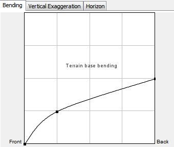
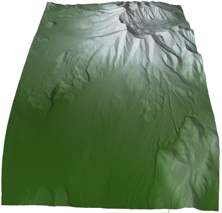
“Vertical Exaggeration” allows independent modification of the vertical exaggeration of both the foreground and background terrain. “Horizon” modifies the bending in the perpendicular sense (left/right for the above image), presumably to simulate earth curvature effects. You also have complete control of the position from which you view the terrain, the shading parameters, and can even add hypsometric (elevation-based) tinting:
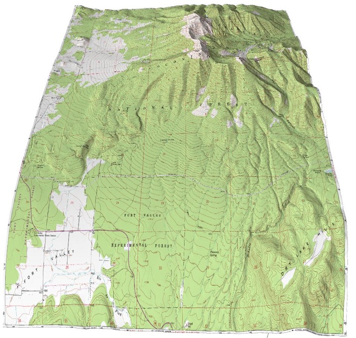
If you have a map or aerial image whose extents mirror that of the DEM you’re using, you can overlay it on top of the terrain view, and have it shaded automatically:
There are some minor issues with Terrain Bender, in particular getting the data in the right format:
- Terrain Bender is written in Java, and comes in Windows, Mac and Linux versions. On my Windows 7 installation, I get occasional crashes, and the terrain view can disappear on occasion (it comes back if you click in the display space).
- The authors recommend at least 2 GB of RAM in running the program.
- Make sure you have the latest OpenGL drivers installed on your system; go to your graphic card chipset’s website (ATI; NVIDIA) to get them
- Terrain DEMs (Digital Elevation Models) must be in ESRI ASCII grid format (*.asc), not necessarily the most common or convenient DEM format.
- Even if the DEM is in *.asc format, the program can get picky about the exact format; it sometimes crashes when you load an *.asc DEM that isn’t “quite right”, even if other programs have no problems opening it.
- If you want to overlay an image, it must have the same geographic extents as the DEM you’ve loaded, and that isn’t always easy to do.
I’ll have some work-arounds for the data format issues in my next post.