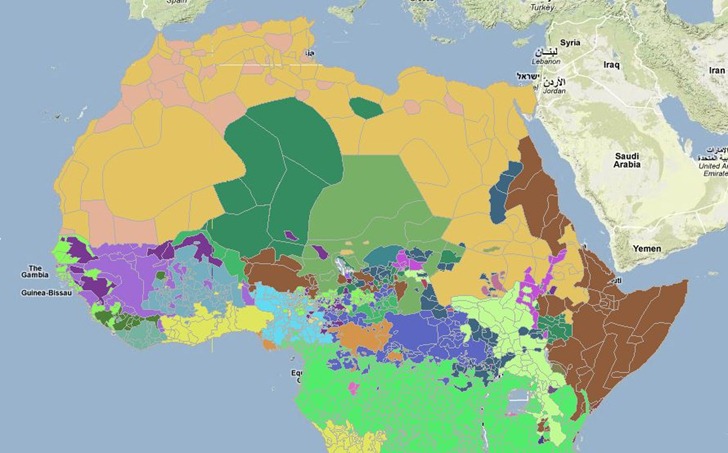
The AfricaMap website from Harvard University offers dozens of vector and raster datasets that you can display inside of a Google Maps interface. Data categories include geographic, political, economic, environmental, linguistic, ethnic, historic and more. Most of the datasets can also be download in GIS-compatible formats, with a fair number also available in Google Earth KMZ format (indicated by a “3D” link in the data listing). Here’s a display of African language families from 2001, for which you can also download the original shapefile data:

Zooming in will display labels, but you can also bring up a pop-up window with the map legend inside.
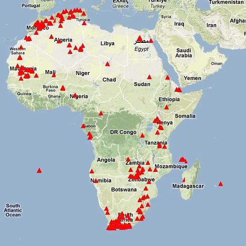
There’s also a “Places” tab that lets you plot point geographic locations for cities, lakes, canals, marshes, mountains, plateaus, and many more. Here’s a plot of gorges in Africa:

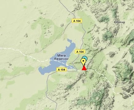
Zoom in closer to an area:

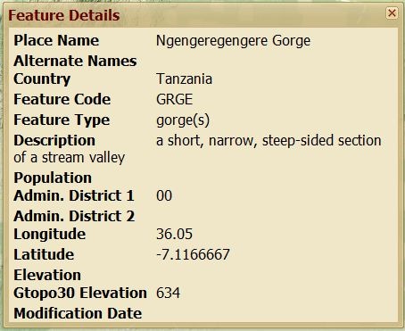
Click nearby a plotted location, and get a pop-up window with more information on the feature: