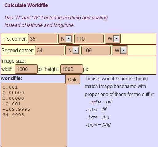
If you have a scanned map image, and know the geographic coordinates of the upper left and lower right corner, plus the image dimensions in pixels, the online World File Calculator will generate a worldfile for that image that you can use to load it into a GIS editor or image viewer:

Copy and paste the text in the “worldfile” section into a text editor, then save it with the appropriate file extension as described above on the right.
One major caveat: you need to make sure the coordinate system you use matches the projection of the map image, e.g. UTM coordinates for a UTM projection; geographic coordinates (lat/long) for a geographic projection (Plate Carree), etc.. If you use the wrong coordinate system to generate the worldfile, that’s likely to introduce large errors into your calibration.