provides information on the history, people, government, economy, geography, communications, transportation, military, and transnational issues for 266 world entities. Our Reference tab includes: maps of the major world regions, as well as Flags of the World, a Physical Map of the World, a Political Map of the World, and a Standard Time Zones of the World map.
In short, it’s the go-to source for current world demographic, economic, social and political data. David Tryse has taken data from the Factbook and created an online application, the kmlfactbook, that generates thematic maps in KML format for use with Google Earth. Select a dataset:
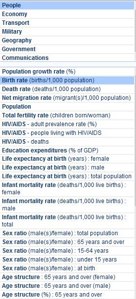
Then choose a chart type, coloring scheme and other options:
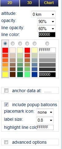
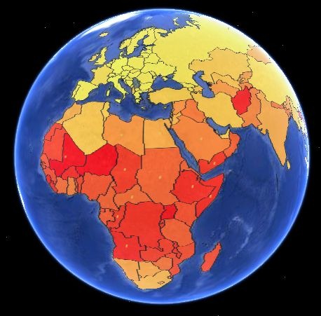
2D charts are flat choropleths:
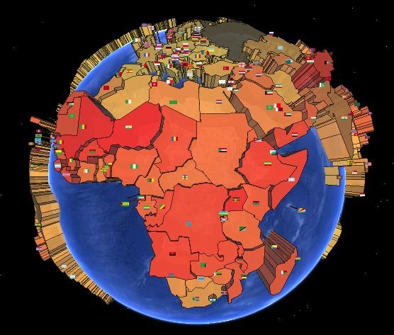
3D add scaling based on height:
And “Chart” creates a pie chart:
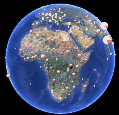
There’s a Google Earth plugin view that lets you preview the appearance, and when you’re happy, you can export a KMZ file. And you’re not limited to CIA World Factbook data; if you register on the site, you can upload your own data to convert it to a thematic KMZ file.
The one thing that seems to be missing is the ability to create a map legend to show what the color codes represent (or at least I couldn’t find it); you can click on placemark icons on each country to get the data, but it’s not the same. Hopefully, legends will be added soon.