From comments on my previous post on the Web Fire Mapper come two more links to fire-related mapping sites:
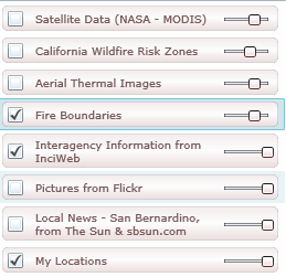
– The Wildfire Information Portal (from Pitney-Bowes and the San Bernardino Sun) uses a Virtual Earth Interface to display wildfire-related layers with the transparency adjustable using sliders. Check a box to view a layer, click on the description to select it (Fire Boundaries in this case):
Below the layers panel, additional information and links to current data will appear:
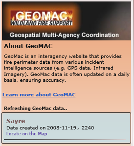
Click on “Locate on the Map” for a data entry, and the map display will zoom in to the selected area:
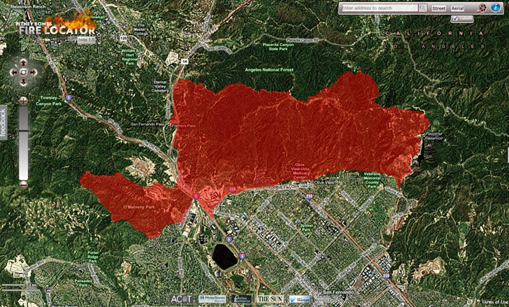
There’s a link to a video tutorial at upper right. It’s definitely California-oriented, and the only data currently visible is for that state, but the video indicates that the site displays data for the entire United States.
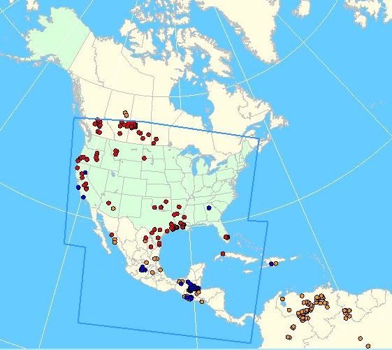
– From NOAA comes a viewer for their Satellite Services Division (SSD) Fire Detection Program, showing fire and smoke data for the US, Central America, and southern Canada:
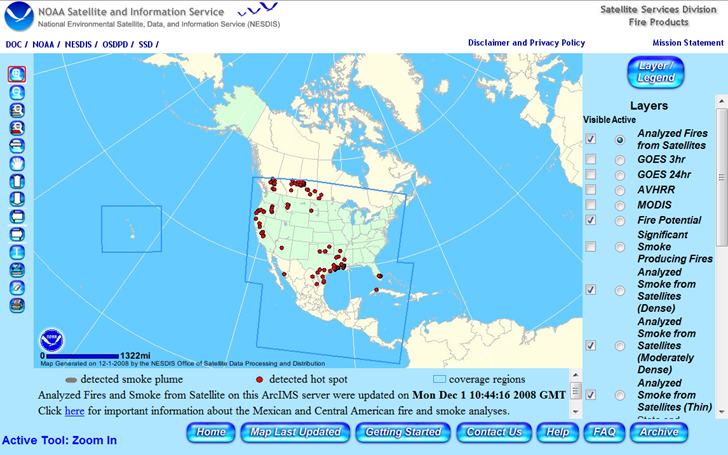
The default coverage (“Analyzed Fires from Satellites”) is shown above, but additional data for Central and South America can be seen by checking the AVHRR and MODIS boxes, then clicking “Refresh Map” at the bottom of the layers section:
HTs to joelarso and amlohdi.
This is not US but Australian (like me!) so I thought I should send you the link.
http://www.firenorth.org.au/nafi/app/init.jsp
Their website is very clunky but the real time results are accurate.
Your site is great, please keep it up!