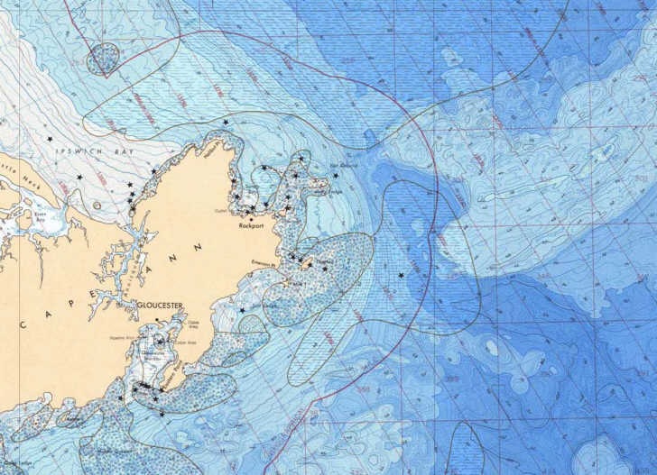
The National Geophysical Data Center has downloadable bathymetric and fishing maps for most of the US ocean coastline (not intended for navigation purposes, though). Map catalogs are broken down by geographic region, and maps are available in both small PDF preview format and large format downloads in either PDF or TIF format (the latter in gz compression, which will require an unzipping program like WinZip or ZipGenius). If you need the PDF maps in a editable graphic format, you can use a program like PDFCreator to “print” the PDF maps in full-resolution TIFF, JPG, or PNG formats. Maps are also not georeferenced (not GeoTiffs or GeoPDFs); I hope to cover some basic georeferencing options soon.
The full sets of data available from the NGDC include more bathymetric and relief data, geology/geophysical data, and earthquake/volcano data.
I would like to see a method of taking these free bathymetric charts and making them into the geo-referenced BSB format so they could be used with many navigational programs. Is there anything you know of that could do this?
Have you seen this post?
https://freegeographytools.com/2008/downloadable-updated-noaa-raster-navigation-charts