Yesterday, I posted about the raster combining and export capabilities of the TatukGIS Viewer. But it’s also a first-rate vector file viewer as well, and can export high-resolution raster images of the vector display using the capability described yesterday.
Among the vector features of the TatukGIS Viewer are:
- Support for a large number of vector formats, including shape, E00, DXF, Tiger road data, GPX, KML, MIF, VPF, DLG, etc.
- Fast display.
- Overlay vector files on top of raster, modify transparency of both.
- A handy wizard for assigning vector display properties using attribute data.
- Standard query and selection by attribute.
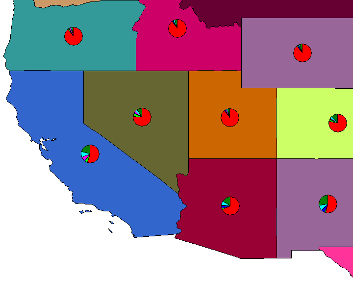
- Pie and bar charts by table attribute, superimposed on the map. (Note: Do this before modifying shapefile display properties, otherwise it doesn’t work)

- Selection by point, line, rectangle, circle, polygon; intersect, touch, within, cross, overlap.
- Measure distance/area for line, polygon, rectangle, circle.
- High-resolution export of georeferenced raster image.
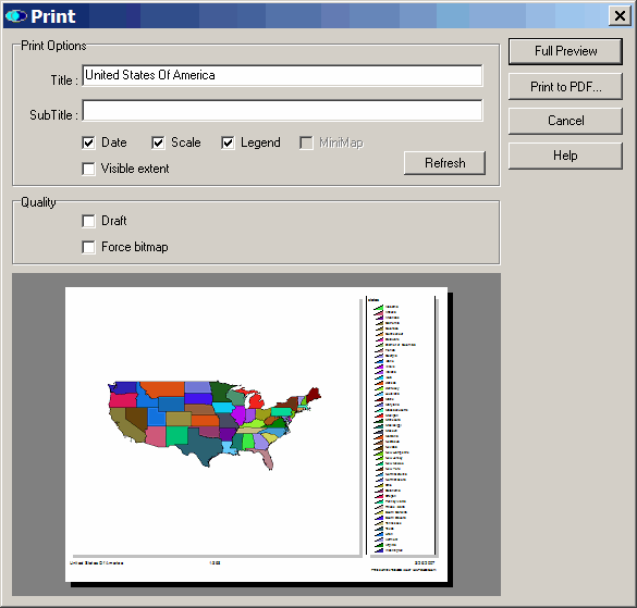
- Print image with options to include scale, title, or legend, either to printer or PDF file.

- User-selectable appearance themes.
- Save projects.
No editing capabilities, just viewing, but the TatukGIS Viewer is among the best free GIS viewers out there.
I agree, TatukGIS Viewer is great. Currently I am just messing around with any DOQ’s and E00 files I can get my hands on, but it seems to work, great. Check out this software package if you are still green about GIS.