Many people are familiar with ground overlays in Google Earth, which drapes a graphic image (like a map) over the terrain in Google Earth. I’d guess that fewer people are familiar with screen overlays, since unlike ground overlays you can’t create and edit them directly in Google Earth, but have to create and edit them in the KML file. A screen overlay is a graphic that’s “embedded” in the viewing screen, so that it doesn’t change as you move around the globe, or change the viewing angle. If I display a screen overlay at one viewing angle and height:
And then change the viewing angle/height:
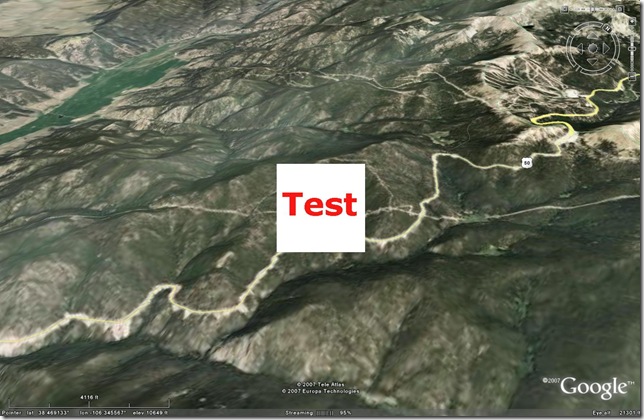
The overlay stays “embedded” in the same position on-screen. You can position the overlay anywhere, you want on the screen and change its transparency:
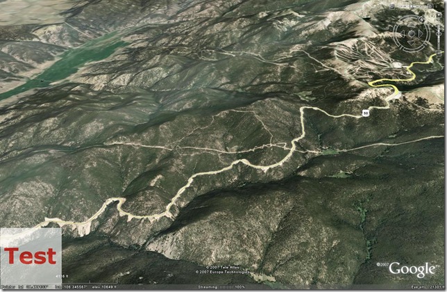
And if you use a graphic format like PNG or GIF that supports transparency, screen overlay supports that:
Screen overlays are ideal for adding labels, scales, legends, descriptive text, etc. to a KML file, where you want the information to be visible and readable regardless of the viewing angle. You can also assign time data to a screen overlay, so you could use it to display time or other information in time-animated KML files. More examples of how to use screen overlays are at the GE Lessons website. Implementing them can be a pain, though, because you can’t create or edit them in Google Earth, but have to do it in KML. Documentation for screen overlays and the associated tags is available at the KML Reference site. But even if you create a screen overlay in KML with a text editor, it may take a few tries to get the overlay laid out exactly the way you want it because of all the options (screen position, overlay position, rotation, overlay size, transparency). So I’ve put together a small utility to simplify the job, and I’ll be posting about it over the next couple of days.